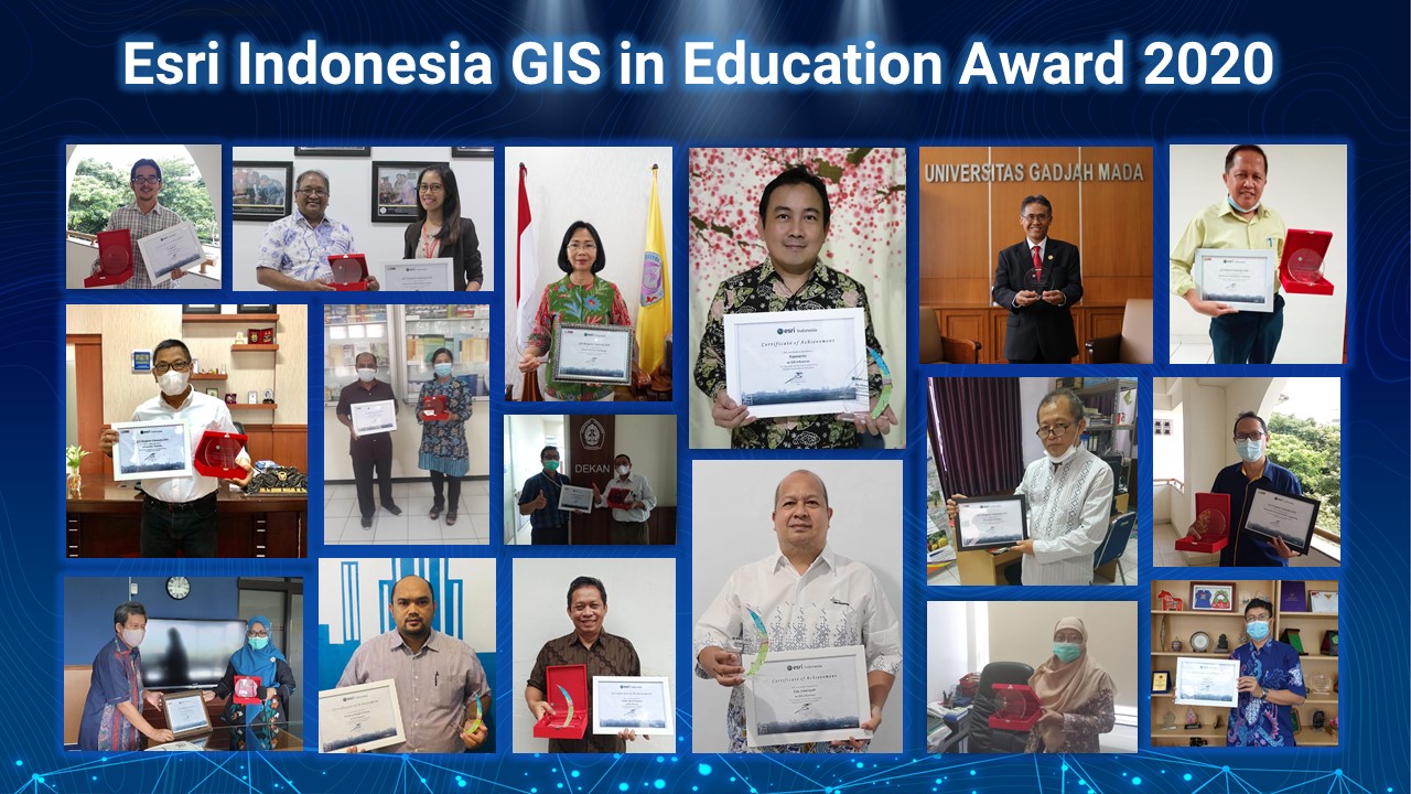
As part of the Esri Education and Community Program, Esri Indonesia today announced the country’s first GIS Award. The award recognises universities for their exceptional impact and support for the spatial technology awareness in the field of education and community.
Since 2014, Esri Indonesia has collaborated with more than 39 universities, with 7,984 software licenses being used. Apart from providing license donations, Esri Indonesia also provides capacity building to the academic community through public lectures, training, and competitions to explore innovations from students.
The initiative encourages innovation in GIS research and promotes teaching excellence in spatial data management and analysis in higher education across Indonesia. Universities and the community are collaborating to solve many of today's big issues which are fundamentally tied to space and place.
By collaborating with distinguished universities and experts Esri Indonesia is not only supporting the innovative and important research taking place across the country, the effort is also contributing to the advancement of geospatial technology. This award reflects an appreciation of educators, students, and the community who have applied GIS solutions to teach, investigate, and plan to improve the quality of education.
“We are committed to supporting teaching and research in higher education. We would like to empower students with the right skills and perspective to best deal with the big issues the world is facing today and solve it by using our technology,” Nadira Nuri Auliani, Education & Community Team at Esri Indonesia, said.
During this pandemic situation, Esri Indonesia and universities are taking precautionary measures against the virus outbreak in the country by integrating information and visualizing it on a dynamic mapping dashboard. This initiative gives users a compelling view and analysis of outbreak data in the country and community.
“New ways of learning are now more essential than ever. GIS allows us to grapple with current issues that the world is facing, using geographic information to make wise decisions. It is also allowing our students to have the critical thinking and spatial analysis skills needed in today’s workforce. We hope with this appreciation we can continuously support higher levels of learning not only in our universities but across Indonesia,” Prof. Dr. Ir. Mochamad Ashari, M. Eng., Dean of Institut Teknologi Sepuluh Nopember (ITS)
“Winning this GIS Award from Esri Indonesia validates our achievements and our dedication to geospatial technology. Together with Esri, we can equip our students with both the needed skills and help them succeed in the advancing digital era. The learning programs bring together real-world industry experience in GIS software, hands-on exercises, and best practices," said Dr. H Marzuki Alie, SE MM- Dean of Universitas Indo Global Mandiri
Winners based on the following categories are:
-
GIS Ambassador University: Institut Pertanian Bogor, Universitas Indonesia, Universitas Indo Global Mandiri and Institut Teknologi Sepuluh Nopember (ITS)
-
GIS Advisor University: Universitas Gadjah Mada, Institut Teknologi Bandung, Universitas Brawijaya, Universitas Hasanuddin, Universitas Pendidikan Indonesia, Unversitas Bina Nusantara.
-
GIS Navigator University: Universitas Syah Kuala, Universitas Sam Ratulangi, Universitas Diponegoro, Universitas Negeri Malang, Universitas Sriwijaya, Universitas Muhammadiyah Yogkarta, Universitas Mulawarman, Universitas Negeri Semarang, Universitas Pembangunan Nasional Veteran Yogyakarta, Universitas Sumatra Utara, Universitas Pattimura, Universitas Tadulako dan Institut Teknologi Sumatra.
-
GIS Role Model: Satria Indratmoko (Universitas Indonesia) and Arif Kurnia Wijayanto (IPB University)
-
GIS Influencer: Sumi Amariena Hamim (Universitas Indo Global Mandiri) and Adipandang Yudono (Universitas Brawijaya)
-
GIS Influencer for School: Lili Somantri (Universitas Pendidikan Indonesia)
The Esri Indonesia Education and Community program continues to expand, seeking universities and the community to innovate and revolutionize the world’s problems using geospatial technology. Through partnerships with top educational institutions across the country, programs from Esri Indonesia are designed to support educators, researchers, and universities in developing a successful and sustainable GIS program.