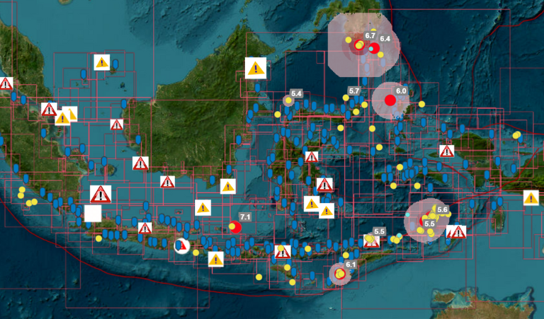
As an archipelagic state with more than 17,000 islands stretching over 80,000 kilometres of coastline, Indonesia’s sovereign territory is more than 70% water.
When you combine that with President Joko Widodo’s ‘global maritime axis’ concept — designed to reinvigorate Indonesia’s identity as a maritime nation and transform it into a global hub — understanding the ocean and what lies beneath becomes critical for national development.
The Indonesian Navy Hydro-Oceanographic Center (Pushidrosal) has been the country’s single authoritative source of national hydrographic data supporting naval defense strategies and building hydro-oceanographic knowledge.
In line with government objectives — including the Global Maritime Axis and the Sustainable Blue Economy — and to meet the growing demand for hydrographic data, Pushidrosal established a marine spatial data infrastructure (MSDI); the Indonesian Hydrographic Data Center (IHDC).
Leveraging geospatial capabilities and platforms trusted by some of the world's most advanced navies, IHDC empowers the nation’s maritime development, research, defense strategies and disaster mitigation.
It’s all part of a larger digital transformation movement underpinned by geographic information system (GIS) technology.
Spatial awareness might mean knowing the location of ships in sovereign waters or providing a historical view of rising sea levels to inform decision-makers. But GIS is increasingly becoming a core enterprise system and data management tool.

With location being the common denominator of every built and natural asset, from ships to underwater topography, GIS provides context to maritime data — and provides a single source of truth for anyone accessing the IHDC.
Beyond centralizing maritime data, Pushidrosal continues to enhance IHDC with advanced geospatial capabilities.
Its Mobile IHDC leverages map-enabled mobile applications while the use of 3D visualization tools paves the way to a maritime digital twin. The implementation of geo-AI is another step in plugging Indonesia into the global geospatial ecosystem.
Discover the full suite of maritime solutions or request a call back to discuss the application of advanced technologies in hydrography.

