Geospatial technology in mining: Success stories from industry leaders
Geospatial technology in mining: Success stories from industry leaders
How are mining operators across Indonesia effectively sharing data across their organization?
Merdeka Copper Gold shares real-time, 2D and 3D data using geospatial technology — ArcGIS— for upgrading their mining exploration.
In this session you’ll discover the use of ArcGIS solution in mining operations and how it can enhance reporting, centralize data, and inform decision making processes.
Get the guide on ArcGIS Pro migration as ArcMap enters mature support in March 2024.
Webinar recording
Why attend?
- Follow the remarkable journey of Merdeka Copper Gold's advanced ArcGIS implementation.
- Explore the capabilities enabling the delivery of enhanced reporting, centralized data repository, and informed decision-making.
- Discover the latest features of ArcGIS Pro and how they can be implemented to modernize mining operations.
- Access on-demand resources and tutorials to migrate from ArcMap to ArcGIS Pro.
Speakers
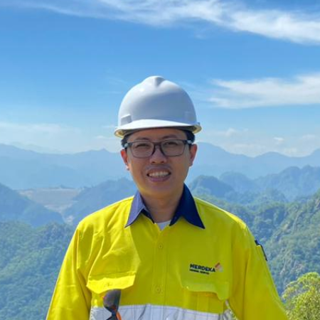
Wendi Adrian
PT. Merdeka Copper Gold Tbk, Jakarta, Indonesia
Spatial Data System Manager
Leading innovation in GIS for end-to-end mining lifecycle at PT. Merdeka Gold Copper.

Muhammad Chaidir Harist
Esri Indonesia, Jakarta
Solution Specialist
GIS enthusiast and experienced solution engineer in natural resources sector.