Geologist use ArcGIS as the go-to-tool for managing global-scale datasets, performing desktop studies, managing sampling and borehole data and more.


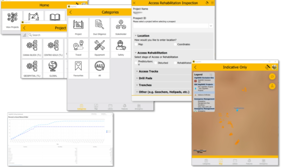
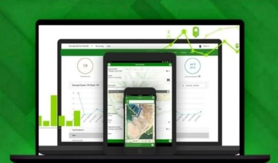
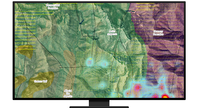
Exploration data management
A well-architected geospatial strategy enables collections of various data (imagery, geophysics, Geochem, etc) to be viewed and accessed seamlessly and transparently. Discover the tools enabling collaboration within cross-functional teams in a web browser.
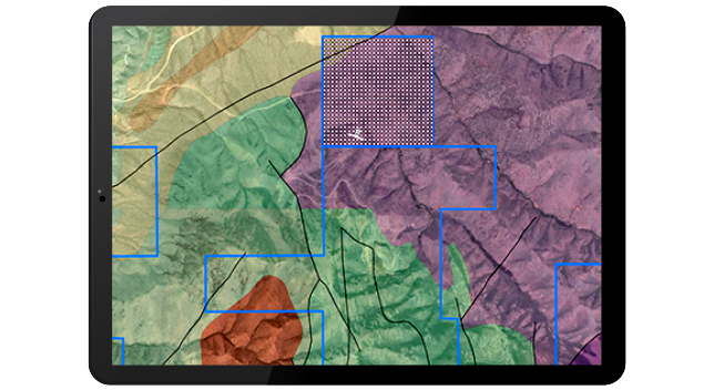
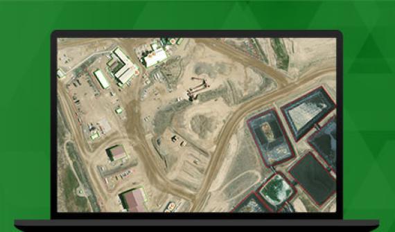
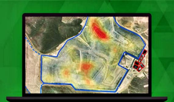
Finding potential deposits
Leverage overlay analysis of multiple data types — satellite imagery (Sentinel, Landsat, etc.), lineament, geological structure — to support pre-exploration workflows and detect rare earth elements in the mineral deposits of your potential mine site.
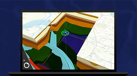
Interactive slicing
Analyze geological layer data and create a cross-sectional profile (fence diagram) to demonstrate the relationship between each 2D trajectory and visualize in 3D. Generate cross section profile from your data with fence diagram in ArcGIS Pro.
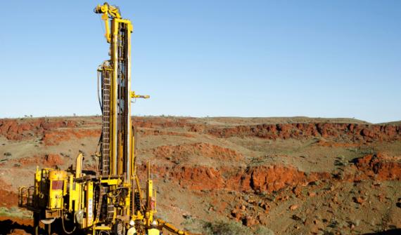
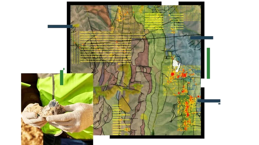
Drill-hole analysis
Explore subsurface geology using Voxel Layers and identify minerals below the surface. 3D models like this can help determine exploration potential, decide where to focus exploration efforts, and enable the discovery of new mineral deposits.