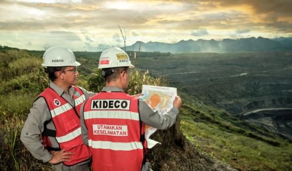
Improve efficiency, remove silos and make faster decisions with greater confidence by integrating field data using advanced automation and analytics.
ArcGIS solutions for mining operations


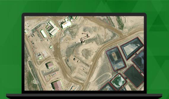
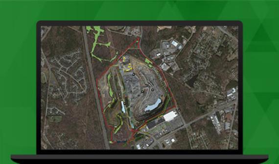
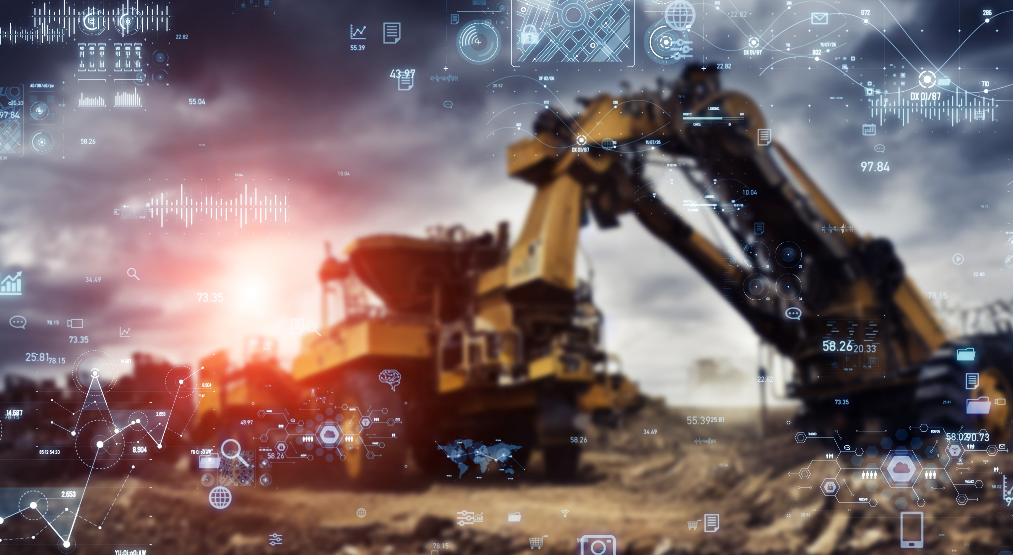
Remote asset monitoring
Discover a full suite of software-as-a-service (SaaS) mobile field applications enabling asset monitoring and tracking across remote sites and connecting directly with your enterprise systems.
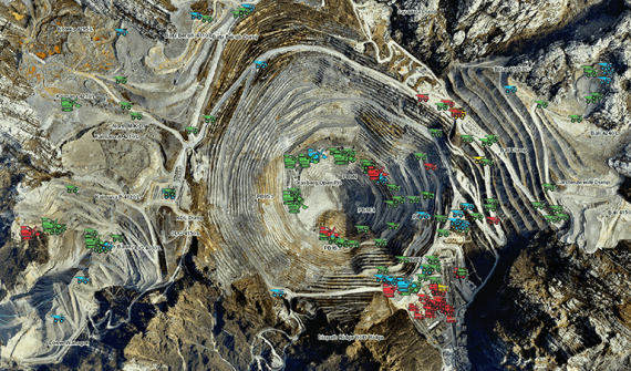
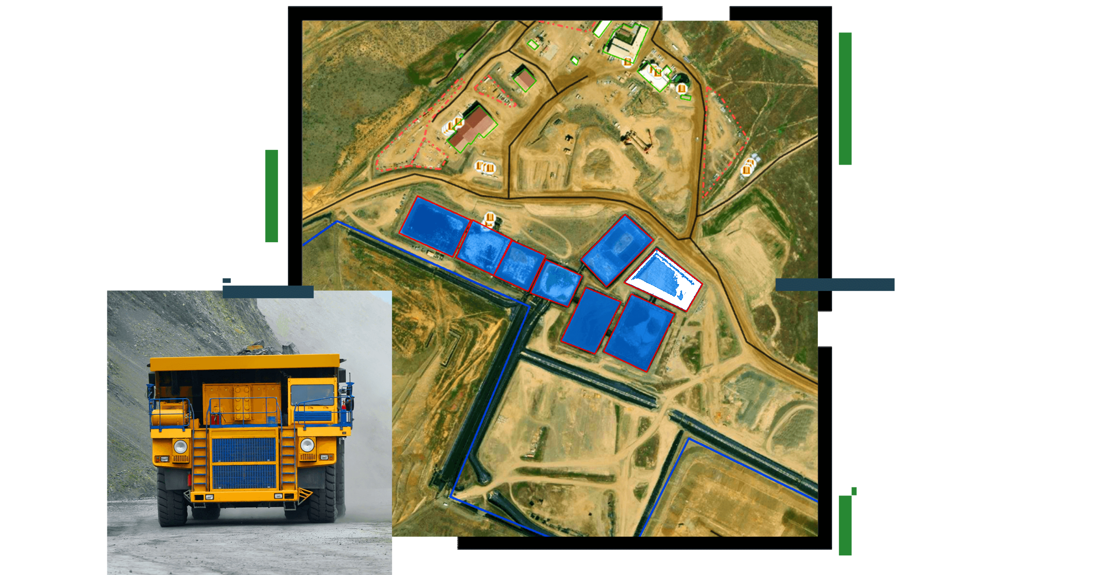
End-to-end mining operations
Tap into the analysis capabilities and flexibility of ArcGIS to create comprehensive workflows and automation processes to achieve efficiency, maximize cost and drive informed decisions.
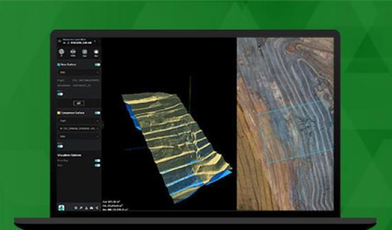
Real-time analysis and monitoring
Leverage efficient data ingestion, analysis, and visualization capabilities to inform operators where to dispatch crews and resources to maintain employee safety and to reduce equipment repair and downtime.

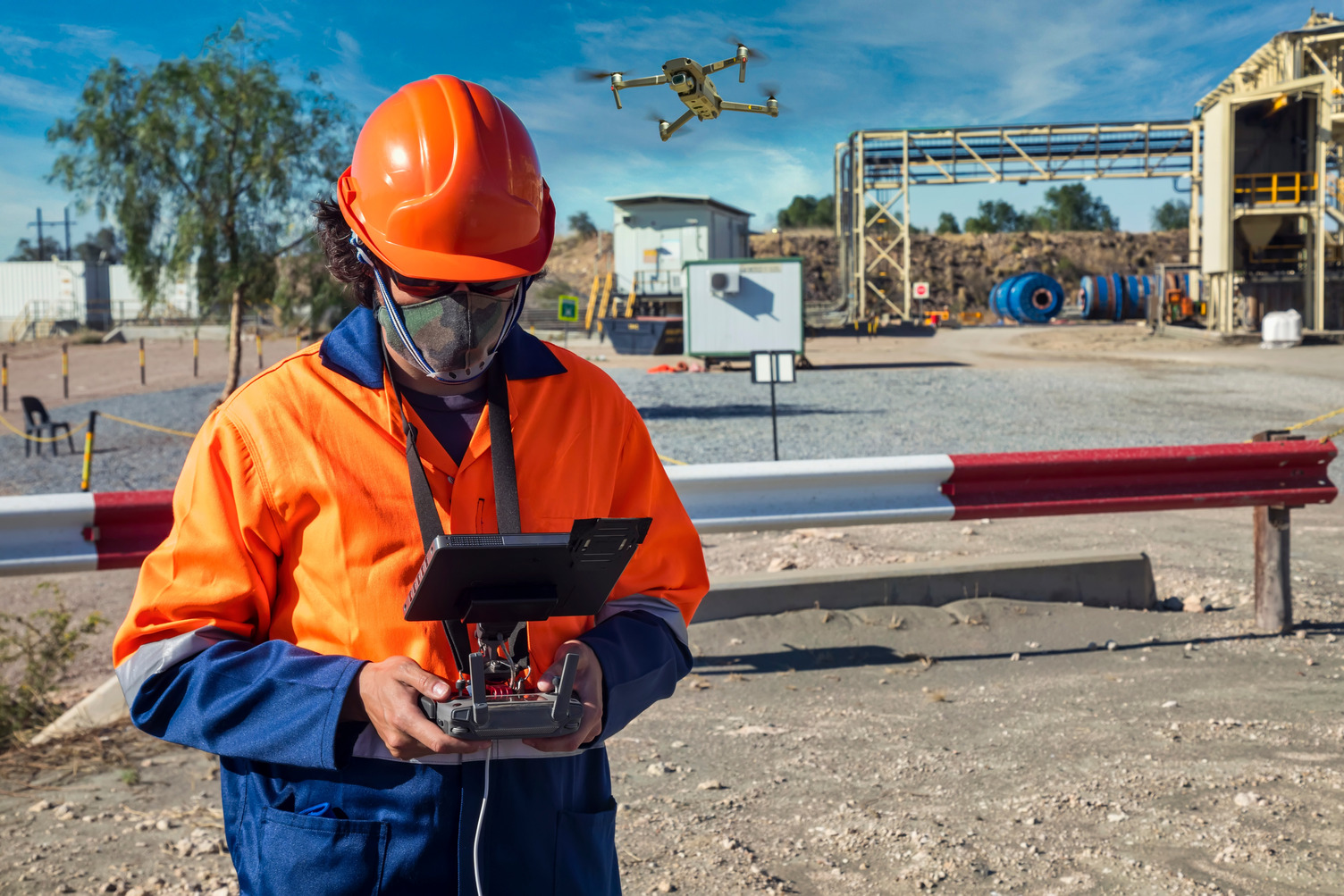
GeoAI in mining
The combination of GIS and AI saves time, improves operational efficiency and cuts costs. GeoAI applications in mining include object detection for haul road monitoring, mineral counting and classification, fragmentation (sizing) and more.