Geographic Information System (GIS) has proven its excellence as a core technology for implementing data-driven strategies to address the challenges of various industry sectors. Through the Esri Indonesia Fellowship Program, GIS technologists not only gain new technical skills, but also develop prototype solutions to address specific challenges in their respective industries.
One example of a significant application of GIS is in the banking sector. Amid the Industrial Revolution 4.0, PT Bank Rakyat Indonesia (BRI) is utilizing the Geographic Information System to expand the reach of financial services and explore the potential of digital payments throughout Indonesia. Through this initiative, BRI developed a prototype that maps data more thoroughly to reach communities that have not been touched by banking services.
The prototype developed by BRI relies on location analysis to reach a population that is still plagued by the inability to access banking services. Based on the latest data from the World Bank as of March 2023, around 48 percent of Indonesia's total population is still outside the reach of financial services.
GIS technology opens up opportunities for the banking sector to expand financial access, which ultimately increases economic productivity in a sustainable manner. The focus is on expanding access for Small and Medium Enterprises (SMEs) to modern financial products.
“Financial inclusion plays an important role in encouraging SMEs’ growth. Access to financial services provides businesses the opportunity to obtain capital and investment, which in turn supports local economic growth,” said Widyaning Chandramitasari , BRI Stream Leader Data Analyst, who is also a participant in the Esri Fellowship Program Indonesia.
In developing the prototype, Widyaning used digital mapping technology (GIS) to create smart mapping in the target area, including Sleman Regency in Northern Yogyakarta. The analysis divides the area into three economic categories: high, medium, and low.
“Information regarding population distribution and business activities in this area is vital in driving the economy. The data provides insight regarding business potential which can be used as a target for improving business performance in the area,” explained Widyaning.
"We hope this project will provide useful recommendations in increasing the adoption of branchless banking (Laku Pandai) to increase financial inclusion,” she added.
“Regions with high business activity offer promising opportunities to increase the adoption of Laku Pandai, despite the tight competition due to the large number of shops and shophouses in the area. Meanwhile, areas with medium and low business activity require a careful approach to smart sales adoption, with the potential to increase financial inclusion gradually.”
“In further development, we plan to improve parameters and methods to optimize results and deepen insight into the potential adoption of Laku Pandai.”
Meanwhile, engineers from PT Kereta Api Indonesia (Persero), namely Harkat Wijaya and Hari Andrian, who also participated in the Esri Indonesia Fellowship Program, succeeded in developing an innovation in the form of a dashboard prototype to monitor the safety of train trips by utilizing smart mapping technology. This solution is designed to display information related to active railway equipment and railway infrastructure spread across Java and Sumatra. The prototype includes maps of bridges, railway lines, tunnels, as well as Internet of Things (IoT) devices, flood sensors and landslide sensors/Early Warning System (EWS).
This solution was developed in order to protect PT Kereta Api Indonesia's assets. Currently, asset mapping is still stored in the form of grid data, which results in longer attention and less efficient maintenance to evaluate locations. Harkat and Hari designed the dashboard with several main objectives, including mapping infrastructure assets and monitoring GIS-based monitoring of assets, facilities and infrastructure. The prototype can detect conditions around vulnerable areas, including information about the condition of infrastructure assets affected in vulnerable areas.
“In infrastructure asset maintenance procedures, survey information regarding the condition of assets in vulnerable areas is very important. When a natural disaster occurs, detection of affected infrastructure assets allows for more efficient maintenance or repair,” said Harkat Wijaya.
“This innovation makes it possible to improve the quality of facilities and infrastructure which are vital for railways. Monitoring assets in the field helps in preventive action when disasters occur in vulnerable areas, minimizing damage to railway facilities according to established procedures,” he added.
The Esri Indonesia Fellowship Program is a human resource development initiative for GIS professionals. This program guides industry experts to further enhance their ability to implement GIS solutions in data-based decision-making, forecasting, monitoring and visualization.
“The Fellowship Program participants are not only sharing their discoveries and solutions within their respective industries but exemplify the true potential of GIS. Smart mapping technology underpins our quest as a society for progress and improved access to services, with emergency management and financial security as two clear cases. As part of this program, we are growing a larger GIS community and the fellows will be able to continue sharing their skills and abilities to find new solutions to challenges.” said Esri Indonesia Solution Strategist Manager Khairul Amri.
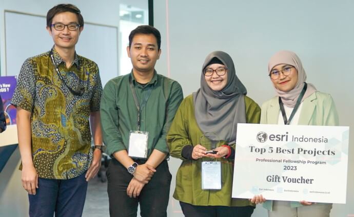
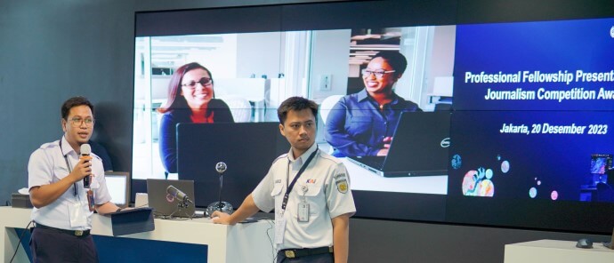
Since it was launched in 2021, more than 500 applicants have taken part in the Esri Indonesia Fellowship Program, in which innovative solutions aim to improve services to the public and support national goals. Today, the top five projects presented their solutions.
BRI’s Business Activity Spatial Analysis prototype can be viewed here.
KAI’s Train Journey Safety Monitoring prototype can be viewed here.
If you would like more details or to have any questions answered by the media team, contact Martin Volz, Senior PR and Communications Advisor.