Use smart maps and spatial analysis to digitally manage the mining lifecycle, from mineral exploration to remediation anywhere, anytime, and on any device.


GIS in action


Solutions
Desktop
ArcGIS Pro is the next-gen desktop GIS, essential for creating and working with spatial data. It offers tools to visualize, analyze, compile, and share mining/exploration data.

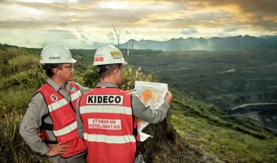
Mobile
Enable field operations on mobile devices with ArcGIS Field Maps. Collect geological data, update authoritative information, track your mobile workforce, and share information with the office.

Real-time
Tap into the Internet of Things (IoT) with real-time data collection, visualization and analytics. Gain insight from dynamically changing mining assets, enhance operations and make informed decision.

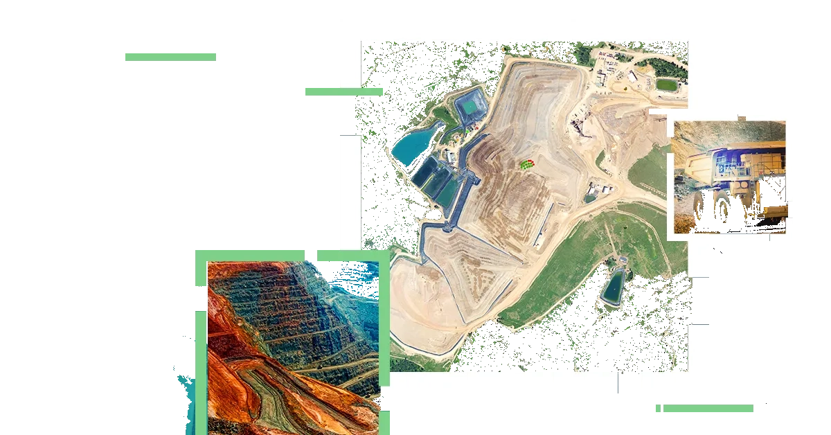
Imagery
Access your imagery and remote sensing data offline with ArcGIS, offering advanced analysis for timely, data-driven insights to fuel proactive business decisions.

Big data
Harness your big data with ArcGIS, seamlessly integrating layers from diverse sources, including existing business intelligence (BI) tools, for comprehensive analysis and valuable insights.

Mining User Community
Calling expressions of interest to join this group - where fellow GIS enthusiasts engage in knowledge-sharing sessions to keep you updated on the latest GIS applications specifically designed for the mining industry.
Your application will be reviewed to determine eligibility for joining this group.