ArcGIS Image is a product suite that quickly integrates imagery into all your workflows. It empowers you to host, analyze and stream imagery and raster collections from desktop, on premises, or in the cloud. Extract insights by performing analysis including advanced artificial intelligence (AI) workflows and share insights with internal and external stakeholders as interactive apps, dashboards and reports to drive faster and more effective decision making.
What can you do with ArcGIS Image?

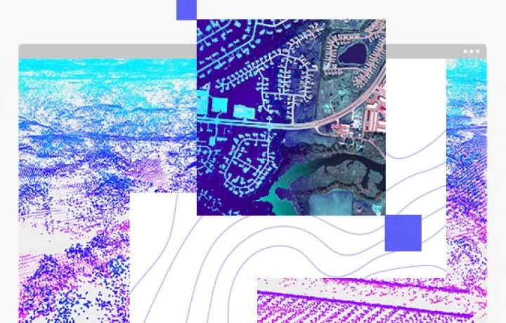
Host imagery on premises and in the cloud
Upload and share your imagery and raster collections, making them accessible to those who need it. ArcGIS Image supports single images and massive collections in multiple formats and projections. Tag imagery with metadata so your staff can find the imagery they need.
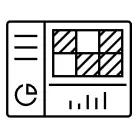
Create ready-to-use image services
Intelligent tiled and dynamic image services provide immediate, pixel-based analysis capabilities in web and desktop applications. Provide access over low-bandwidth networks. Stream orthomosaics, satellite scenes, elevation and categorical data for entire regions.
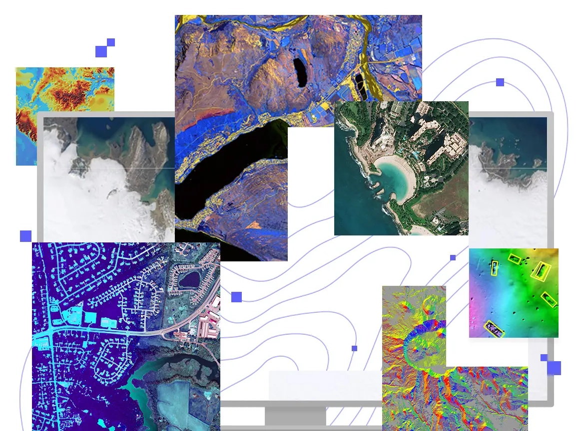
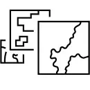
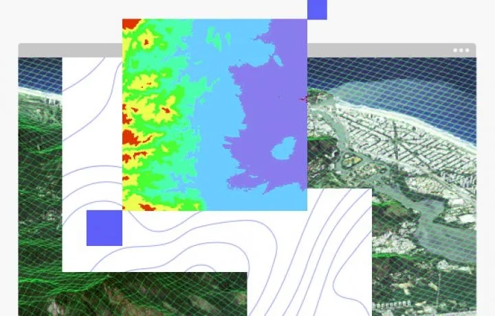
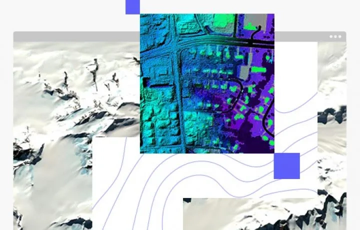
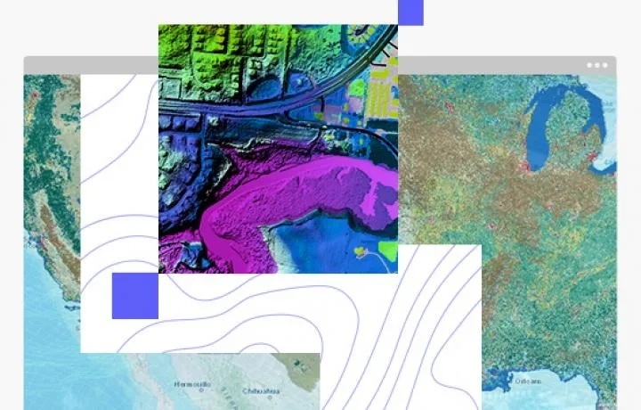
Extract insights from imagery of all types
Interpret and extract information from your imagery, and datasets from ArcGIS Living Atlas of the World like Landsat, Sentinel, and National Agriculture Imagery Program imagery. Perform advanced analysis including time series analysis, deep learning, and terrain processing.
Access the largest online remote sensing collection
Use authoritative imagery from Esri's partner network. Made available via ArcGIS Living Atlas of the World, our curated imagery collection includes performant basemap imagery, dynamic satellite imagery, and elevation services.
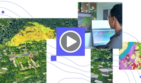
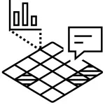
Share responsive, interactive imagery products
Quickly go from imagery to storytelling. Turn observations, analysis results, and subsets of dynamic or tiled imagery into interactive apps and dashboards anyone can understand. To enhance usability, create legends and suitable pop-ups that contain metadata for any pixel.
Deploy based on your organization's need
Desktop
ArcGIS Image Analyst for ArcGIS Pro is a comprehensive image analysis workstation that provides tools for advanced image interpretation, exploitation, and geospatial analysis on various imagery modalities. Automate and speed up workflows with a robust set of machine and deep learning tools, raster functions, and geoprocessing tools.
Enterprise
ArcGIS Image Server for ArcGIS Enterprise scales the hosting, analysis and streaming of massive imagery and raster collections. Use your powerful enterprise or cloud resources to scale raster analytics with parallel processing and distributed computing to quickly generate valuable imagery and data products.
Software as a service
ArcGIS Image for ArcGIS Online is a complete software as a service (SaaS) offering for hosting, analyzing, and streaming imagery and raster collections. Save on infrastructure costs and maintenance using a secure, scalable, and performant cloud environment that quickly integrates imagery into all your workflows.
Managed SaaS
ArcGIS Image Dedicated brings raster analytics and streaming capabilities directly to imagery in your Amazon Web Services (AWS) or Microsoft Azure cloud environment. With this service, Esri will spin up dedicated servers next to your imagery to process, serve and analyze imagery so you don’t need to.