You're viewing the English translation
Esri Indonesia | Home

Main navigation

  • Industries
    • Commercial
      • Architecture, engineering and construction
      • Banking and financial services
      • Electricity
      • Forestry
      • Manufacturing
      • Market development
      • Media
      • Mining
      • Oil & gas
      • Plantation
      • Property and real estate
      • Retail
      • Telecommunications
      • Transportation and logistics
      • Water
    • Government
      • Solutions for government
      • Cities and municipalities
      • Defence and intelligence
      • Emergency and disaster response
      • Maritime and hydrography
      • Infrastructure and public works
      • Land administration
      • National government
      • Provincial government
      • Spatial data infrastructure
    • Community
      • GIS for schools
      • Fellowship Program
      • Fellowship Program Hall of Fame
      • Esri Young Scholar Award
      • Non-profit
  • Products
    • Capabilities
      • Digital twins
      • Field operations
      • Imagery and remote sensing
      • Real-time visualisation and analytics
      • Spatial analytics
    • About ArcGIS
      • ArcGIS user types
      • ArcGIS product licensing
      • ArcGIS Online
      • ArcGIS Pro
      • Migrating to ArcGIS Pro
      • ArcGIS Enterprise
      • ArcGIS Location Platform
      • ArcGIS Developer
      • ArcGIS for Personal Use
      • ArcGIS Online free trial
      • See other Esri products
    • Applications
      • Apps for the office
      • Field operations
      • Apps for the community
      • App Builders
      • LivingLab
      • NV5 Geospatial
    • Data
      • GIS data
      • Open Data
      • Data Interoperability
      • Open Standards
      • Esri’s Open Vision
  • Services and support
    • Services
      • ArcGIS maintenance program
      • ArcGIS Enterprise upgrade
      • Consulting services
      • Project services and application development
      • Managed services
    • Technical support
      • Esri Support App
      • Support resources
      • Support request
    • Training
      • Training calendar
      • Training courses
      • GeoEnablement Portal
      • Submit a training enquiry
    • Support programs
  • News and events
    • News
      • In the media
      • Subscribe to news
    • Blogs
    • Events calendar
      • Webinars
      • Past event presentations
    • GIS Directions podcast
  • About
    • Esri Indonesia
      • Our people
      • Our history
      • Our relationship with Esri
      • Our relationship with Boustead
      • Our partner program
    • GIS technology
      • Jack Dangermond
      • History of GIS
      • Location analytics
      • Esri map gallery
    • Careers
      • Our values
      • Our people
      • Browse jobs
      • Geospatial scholarship program
    • Contact us
      • Sales and services
      • Support request
      • Training
      • General enquiries
      • Subscribe
  • Store

You are here

  • Industries
  • Government
  • Defence and intelligence

GIS in defence and intelligence

Connect with a specialist
military defence illustration

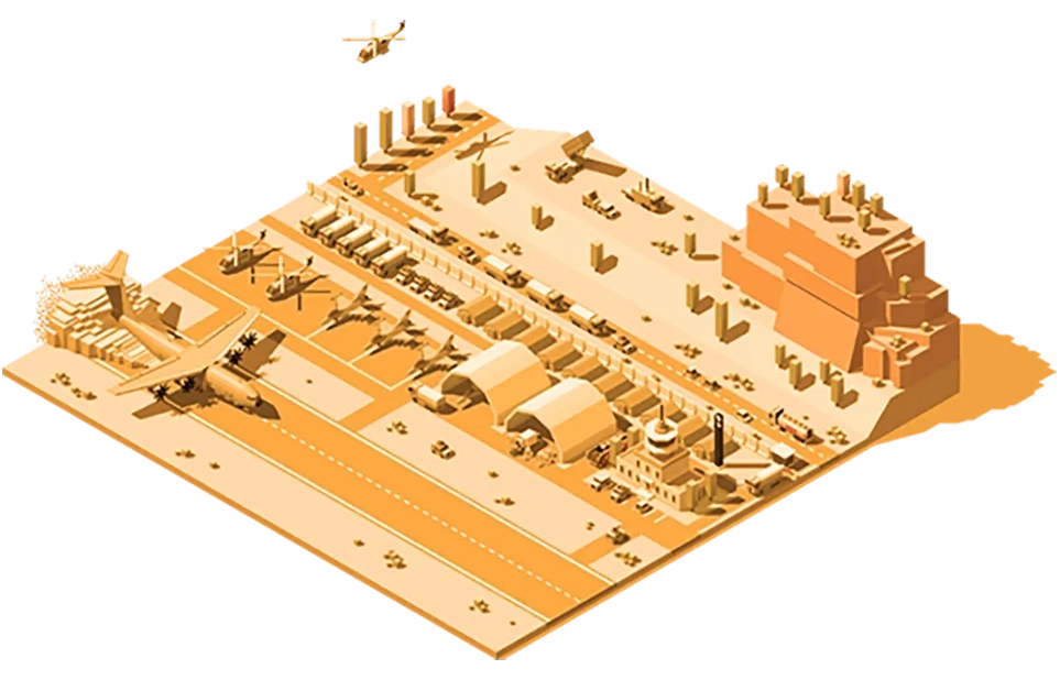
GIS technology gives defence and intelligence agencies powerful mapping and analysis capabilities – allowing them to proactively identify risks, accurately understand potential impacts and develop effective mitigation and response plans.

Solutions for global air forces video
Video Solutions for global air forces

Modern air forces are inundated with information in a variety of formats, classification levels and from a range of sources. Visualizing and analyzing this data makes for a more informed decision-making process.

More
Supporting defence capabilities and missions industry brief
Industry brief Supporting defence capabilities and missions

Location analysis helps military and civilian staff form highly effective field plans by integrating geospatial datasets across all areas of responsibility.

More

To learn more about the use of GIS in defence and intelligence, email us or call (021) 2709 9881 – 84.

Malaysia’s national ICT R&D - Card
News Esri Indonesia and Dittopad are in synergy in the era of digital disruption in national defense Implementation of Geographic Information System and Artificial Intelligence in creating the Dittopad 4.0. Learn more
: Intro to incident analysis video
Video Intro to incident analysis

The incidence analysis template is one of the Esri defence solutions which contains maps and tools that can be used to perform pattern and trend analysis on incident point locations.

More

Subscribe to
Esri Indonesia news

Esri Indonesia | Home

Footer menu

  • Sitemap
  • Privacy
  • Website Terms and Conditions

© 2025 Esri Indonesia All rights reserved.