You're viewing the English translation
Esri Indonesia | Home

Main navigation

  • Industries
    • Commercial
      • Architecture, engineering and construction
      • Banking and financial services
      • Electricity
      • Forestry
      • Manufacturing
      • Market development
      • Media
      • Mining
      • Oil & gas
      • Plantation
      • Property and real estate
      • Retail
      • Telecommunications
      • Transportation and logistics
      • Water
    • Government
      • Solutions for government
      • Cities and municipalities
      • Defence and intelligence
      • Emergency and disaster response
      • Maritime and hydrography
      • Infrastructure and public works
      • Land administration
      • National government
      • Provincial government
      • Spatial data infrastructure
    • Community
      • GIS for schools
      • Fellowship Program
      • Esri Young Scholar Award
      • Non-profit
  • Products
    • Capabilities
      • Digital twins
      • Field operations
      • Imagery and remote sensing
      • Real-time visualisation and analytics
      • Spatial analytics
    • About ArcGIS
      • ArcGIS user types
      • ArcGIS product licensing
      • ArcGIS Online
      • ArcGIS Pro
      • Migrating to ArcGIS Pro
      • ArcGIS Enterprise
      • ArcGIS Developer
      • ArcGIS for Personal Use
      • ArcGIS Online free trial
      • See other Esri products
    • Applications
      • ArcGIS Dashboards
      • ArcGIS Web AppBuilder
      • Apps for the office
      • Field operations
      • Apps for the community
      • LivingLab
      • NV5 Geospatial
    • Data
      • GIS data
      • Open Data
      • Data Interoperability
      • Open Standards
      • Esri’s Open Vision
  • Services and support
    • Services
      • ArcGIS maintenance program
      • ArcGIS Enterprise upgrade
      • Consulting services
      • Project services and application development
      • Managed services
    • Technical support
      • Esri Support App
      • Support resources
      • Support request
    • Training
      • Training calendar
      • Training courses
      • GeoEnablement Portal
      • Submit a training enquiry
    • Support programs
  • News and events
    • News
      • In the media
      • Subscribe to news
    • Blogs
    • Events calendar
      • Webinars
      • Past event presentations
    • GIS Directions podcast
  • About
    • Esri Indonesia
      • Our people
      • Our history
      • Our relationship with Esri
      • Our relationship with Boustead
      • Our partner program
    • GIS technology
      • Jack Dangermond
      • History of GIS
      • Location analytics
      • Esri map gallery
    • Careers
      • Our values
      • Our people
      • Browse jobs
      • Geospatial scholarship program
    • Contact us
      • Sales and services
      • Support request
      • Training
      • General enquiries
      • Subscribe
  • Store

You are here

  • Industries
  • Commercial
  • Banking and financial services

GIS in banking and financial services

Connect with a specialist
banking banner illustration

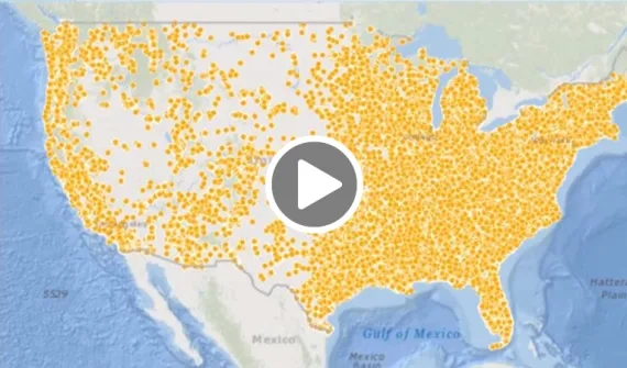
Everything in financial services is hyper-local. Knowing the 'where' in banking is the key to understanding what and why.

Bank-Muamalat-uses-GIS-technology-to-drive-business-growth_card
Video Bank Muamalat uses GIS technology to drive business growth

Find out how GIS plays an important role for Bank Muamalat's strategic growth, saving around 11 per cent of OPEX costs by implementing GIS to inform its business direction and stay ahead of the competition.

More

To find out more about GIS in banking and financial services, explore the industry solution catalogue, call (021) 2709 9881 – 84 or talk to a specialist today.

Digitally securing the financial services sector card
Resource Tools for financial services

Get hands on with the mapping tech informing strategic decisions and providing hyperlocal insights. 

More
How ANZ mapped its merger with National Bank
News How ANZ mapped its merger with National Bank

When ANZ bank decided to merge its acquisition of New Zealand's National Bank into one brand, it turned to the power of mapping to gain insights into crucial customer data.

More
Uncover fraud hidden in a billion transactions
Video Uncover fraud hidden in a billion transactions

Location analytics provides key insights and visibility across multiple financial transactions in any location to uncover threads of fraudulent activity through visible data patterns.

More

Subscribe to
Esri Indonesia news

Esri Indonesia | Home

Footer menu

  • Sitemap
  • Privacy
  • Website Terms and Conditions

© 2026 Esri Indonesia All rights reserved.