We host a tech update session regularly for our mining user community. Dive into the latest GIS trends and discover how Esri's technology can enhance efficiency in mining operations and management.
Stay informed, innovate, and lead the way!
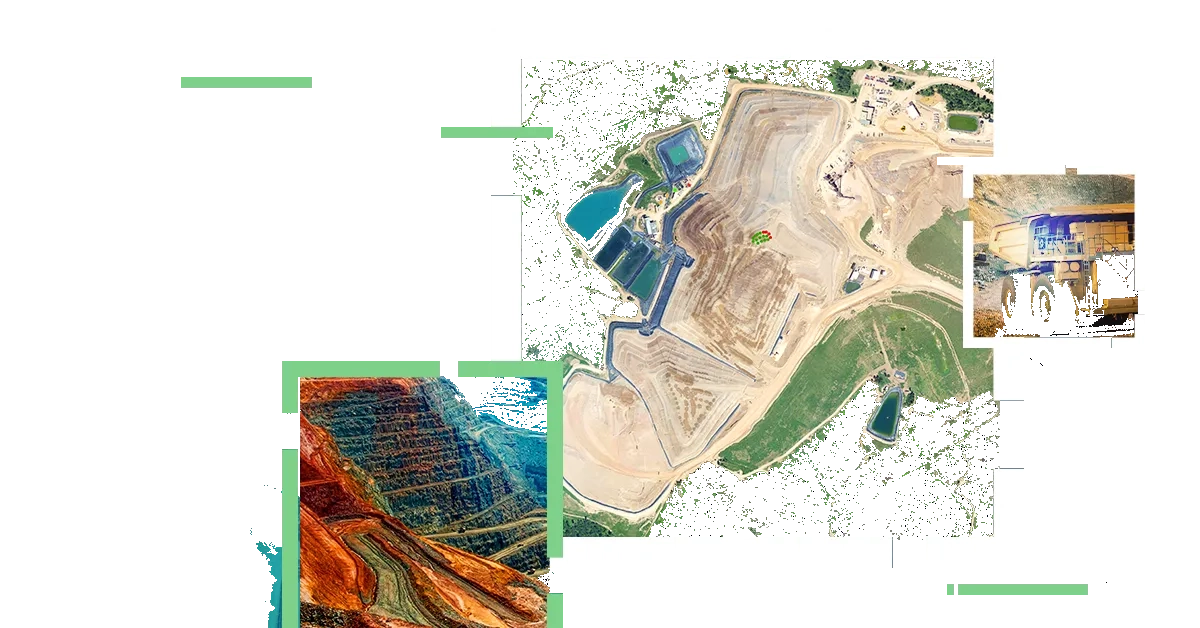
Check out the sessions' schedule below and reserve your seat now. Seats are limited.
Join our tech updates
- Friday, 26 June | End-to-End Solutions for Optimized Mine Development
Time: 13.30 - 16.00 WIB
Venue: Mini Theatre, Esri Indonesia Office, Capital Place 26th Floor, Jl. Gatot Subroto Kav. 18, Jakarta
Focus: Optimizing exploration and mine development with seamless cross platform integration, mobile field operations, location driven applications. Provide real time authoritative single source of truth in the field and in the office for exploration and land management data.
Technology Highlights: Mobile Application, App Builders, Experience Builder, Web Editor
- Friday, 4 September | Optimizing Mining Operations with Digital Twins and Real Time Spatial Intelligence
Time: 13.30 - 16.00 WIB
Venue: Mini Theatre, Esri Indonesia Office, Capital Place 26th Floor, Jl. Gatot Subroto Kav. 18, Jakarta
Focus: ArcGIS as the central enabler for operational digital twin, integrating 3D models, mining conformance monitoring and evaluation with real-time telemetry, HSE monitoring, creating a holistic digital twin of mining operations to support data-driven decision making.
Technology Highlights: ArcGIS Velocity, ArcGIS Data Pipelines, Imagery/Reality
- Friday, 20 November | Enabling Sustainable Mining Practices with ArcGIS
Time: 13.30 - 16.00 WIB
Venue: Mini Theatre, Esri Indonesia Office, Capital Place 26th Floor, Jl. Gatot Subroto Kav. 18, Jakarta
Focus: Leverage ArcGIS solutions to navigate rigorous Indonesian environmental regulations surrounding mine closure. Monitor and support comprehensive ecosystem rehabilitation from disturbance and reclamation workflows to biodiversity and environmental monitoring.
Technology Highlights: GeoAI, Hydrology Simulation, Imagery
- Friday, 5 February | ArcGIS Imagery and Reality Platform for Mining Excellence
Time: 13.30 - 16.00 WIB
Venue: Mini Theatre, Esri Indonesia Office, Capital Place 26th Floor, Jl. Gatot Subroto Kav. 18, Jakarta
Focus: Comprehensive management of imagery data, automated pipelines, GeoAI‑driven analysis, and seamless dissemination of insights for smarter mining operations.
Technology Highlights: ArcGIS Reality, Image Server, Drone2Map