
Advance your GIS skills and solve real-world challenges
The Esri Indonesia Fellowship Program supports working professionals who want to build stronger GIS skills and apply geographic thinking to solve real-world challenges in their organizations. It offers a practical, hands-on learning path that helps you use GIS technology to create meaningful, data-driven impacts.
Entries for the 2026 program are now open.
Are you ready to elevate your GIS skills and make a difference?
Key Dates
- Mon, 2 Mar - Fri, 17 Apr: Application period
- Mon, 4 May - Fri, 5 Jun: Stage 1 - Fundamentals of GIS and its applications
- Mon, 8 Jun - Fri, 12 Jun: Prototype proposal development and submission period
- Mon, 6 Jul - Fri, 7 Aug: Stage 2 - Prototype development and mentoring
- Mon, 20 Jul - Fri, 14 Aug: Final presentation period
For more detailed information, please refer to the FAQs and read the terms and conditions for entry.
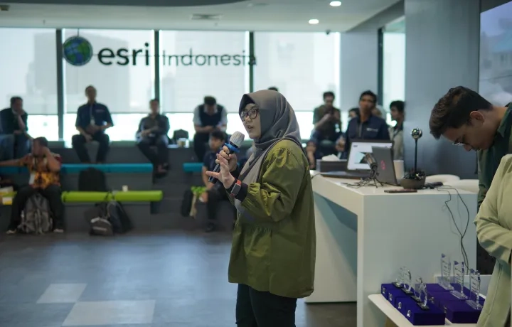
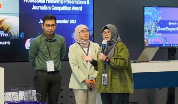
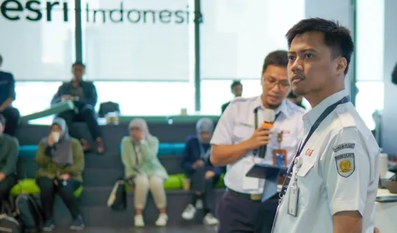
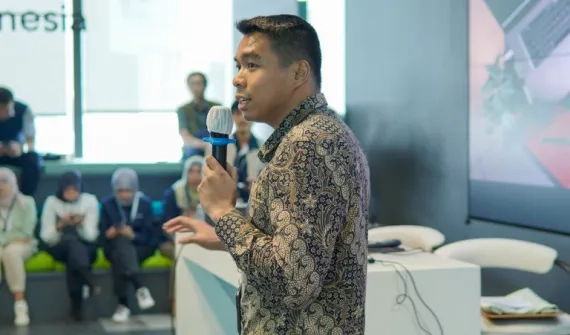
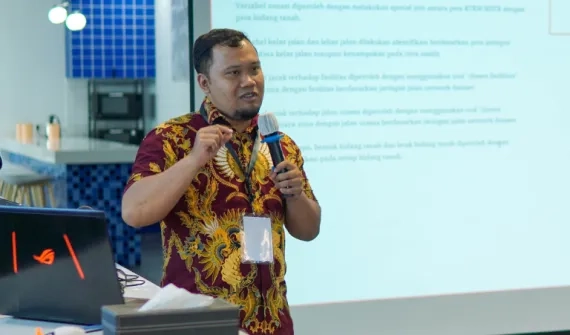
Our fellowship program hall of fame

Have questions about the Fellowship Program? Get in touch with our team for more information.
FAQs
- What is the Fellowship Program?
The Fellowship Program is a short, intensive learning and development initiative designed for professionals across various industries who want to learn, explore, and apply Geographic Information System (GIS) technology to solve real-world challenges in their organizations.
In less than six (6) months, you will:
• Learn GIS fundamentals through courses and workshops.
• Gain hands-on experience with ArcGIS, Esri’s leading GIS platform.
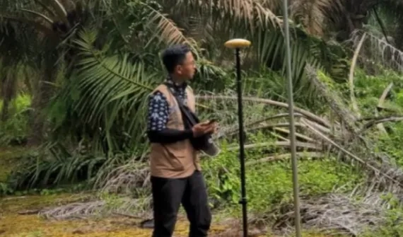
• Develop a GIS-based solution prototype under expert mentorship.
• Showcase your work using ArcGIS StoryMaps and have the opportunity for your project to be featured on our website and social media. - Who can join the Fellowship Program?
The program is open to working professionals from any industry who are interested in learning and applying Geographic Information System (GIS) technology to address real-world challenges in their organizations.
We welcome:
- GIS-focused roles, including GIS Administrators, GIS Analysts, GIS Developers, GIS Managers, Cartographers, Geospatial Data Scientists, Remote Sensing Analysts, and IT Administrators.
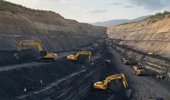
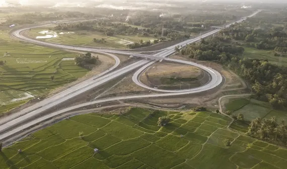
- Business roles that leverage GIS, such as Business Analysts, Market Researchers, Retail Location Planners, Supply Chain Managers, Transportation Planners, Telecommunication Network Planners, Disaster Response Coordinators, Public Health Analysts, and Urban Planners.
- How is the program structured?
The Fellowship Program is structured in two stages:
Stage 1: Fundamentals of GIS and its applications
- Participants will complete self-paced courses, attend live workshops, and take weekly quizzes to build your foundation.
- Submit your project proposal. After the review process, approved proposal will progress to Stage 2.
Stage 2: Prototype development & mentoring
- Work with expert mentors to develop and test your GIS solution.
- Final presentation: You’ll showcase your work to a select audience, with the chance to be featured on our platforms.
- Do I need prior GIS experience to participate?
No, prior GIS experience isn’t required. This program is designed for beginners and intermediate learners, starting with foundational courses and gradually moving into hands-on projects.
If you already have some GIS experience, that’s great. You’ll get to explore the latest developments and trends in GIS and ArcGIS, and your experience can help you tackle more advanced ideas in Stage 2.
- How long is the program, and what is the time commitment?
The Fellowship Program runs for less than six months. Participants should expect to dedicate approximately 4–6 hours per week, including workshops, self-paced learning, and project development. More details will be shared once the program opens.
- Do I need to have my project idea or proposal ready at the start?
No, while it’s helpful to have a project idea ready at the start, you’ll still have time in Stage 1 to explore, refine, or even come up with a new proposal. We give you space to finalise your project before submitting it.
Sometimes the best ideas only emerge after getting hands-on with the technology and seeing what’s possible.
- Are there any specific themes for project proposals?
No, we welcome ideas from any industry or field.
All submitted proposals are assessed based on innovation, feasibility, and business impact. Past successful projects often addressed real organisational challenges.
- What support will I receive during the program?
You'll receive:
• access to Esri’s learning resources and software,
• mentorship from GIS experts,
• guidance in developing and presenting your GIS solution. - Is there a cost to join the program?
No, the program is completely free for selected participants. Stage 2 spots are limited, though, and selection will be based on your project idea and how you perform in Stage 1.
- How are participants selected?
We look at a few things when selecting participants:
- Your enthusiasm, motivation, and interest in applying GIS in your work.
- How your GIS project could make a real impact in your organization or industry.
- Your availability to fully engage with the program schedule.
- How do I apply?
Submit an application here. We will contact you with more details once applications close.
- When does the next round start?
The next round of applications is now open. Keep an eye on this webpage or follow us on social media for the latest updates.
- Will I receive a certificate upon completion?
Yes. We’ll provide two types of certificates based on your progress in the program:
• Certificate of Participation – awarded to participants who successfully complete Stage 1.
• Certificate of Completion – awarded to participants who successfully complete Stage 2 and the final presentation.All certificates will be issued electronically by Esri Indonesia.
- Can I see examples of past projects?
Yes. Check out some of the amazing projects created by previous fellows and be inspired.