
Transforming reality mapping into marine & port intelligence with ArcGIS technology.
Transforming reality mapping into marine & port intelligence with ArcGIS technology.
Marine and port environments are becoming increasingly complex, requiring advanced technologies to manage data, infrastructure, and ecosystems effectively. However, many organizations still face challenges in transforming geospatial data into actionable insights for decision-making.
This webinar will explore how Reality Mapping transforms drone and aerial imagery into high-accuracy 2D and 3D representations to support marine mapping, coastal management, and port operations. Through real-world examples, participants will discover how reality-derived data supports advanced 3D visualization, digital twins, infrastructure monitoring, environmental assessment, and operational awareness across the ArcGIS platform.
Webinar recording
What you'll learn
- Introduction to geospatial reality mapping for marine and coastal environments
- Advanced 3D visualization for marine ecosystems and port infrastructure
- Reality mapping as the foundation for port Digital Twins
- Sea level rise analysis and critical infrastructure assessment
Speaker
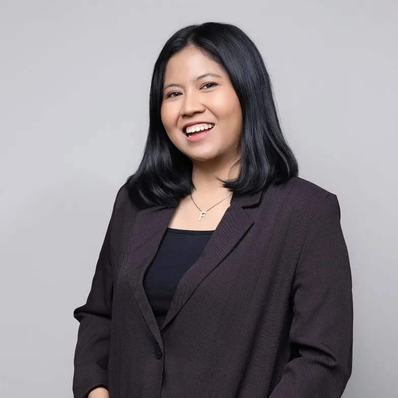
Farrah Intansari
Esri Indonesia, Jakarta
Solution Strategist Associate Analyst (National Government)
Farrah is a Solution Strategist Associate Analyst with seven years of experience in geospatial technology within the Indonesian government. With expertise in satellite imaging, remote sensing, and AI-driven analysis, she has contributed to key government projects. Farrah holds a degree in Geography and is passionate about advancing ArcGIS applications and sharing insights on Remote Sensing and GIS Analysis
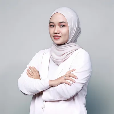
Farah Nadhilah
Esri indonesia, Jakarta
Solution Strategist Engineer
With a robust background in surveying and geographic information, Farah excels in delivering spatial consulting services to the AEC sector. Having great interest in 3D modelling and Building Information Management adds significant value to her current role, where she continues to drive innovation and excellence.