In the oil and geothermal sector, subsurface to surface data is produced daily
In the oil and geothermal sector, subsurface to surface data is produced daily
Key statistics to keep track of include:
Wellhead pressure
Line pressure
Well temperature
Throttle valve opening
Flow rate of the oil/steam produced
In this session, you’ll learn how to leverage on ArcGIS Insights to combine operation and geospatial data, while tracking how the field evolves in real-time.
By using the power of location intelligence for reservoir management and maintenance, you will be empowered by a better understanding of your project’s stability.
Please note that this webinar will be presented in Bahasa Indonesia.
Highlights
- Identify the data types that are usually produced and how they benefit from location intelligence
- Hear about projects that have had a geospatial approach successfully implemented
- Learn how combining wellhead data with spatial data will help pinpoint stable and unstable wellhead pressure locations
- Determine through best practices how to maintain and manage reservoir conditions for operational sustainability
Speakers

Lucas Elbert Suryana
Guest contributor
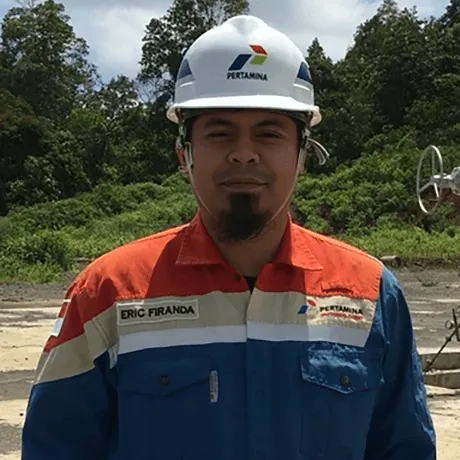
Eric Firanda
PT Pertamina Geothermal Energy, Indonesia
Reservoir Engineer at PT Pertamina Geothermal Energy
Eric Firanda has over 10 years' experience as a reservoir engineer in the geothermal field, specialising in related tools such as wellbore modelling software and iPGE.