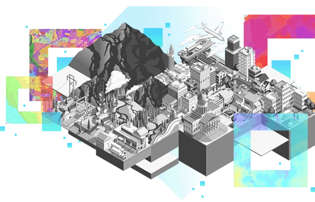
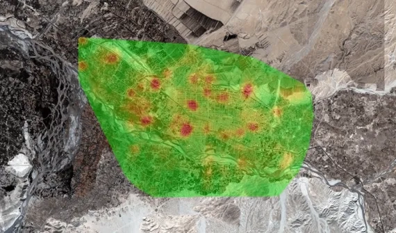
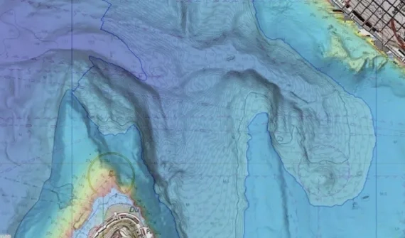
You're viewing the English translation
Esri Indonesia | Home

Main navigation

  • Industries
    • Commercial
      • Architecture, engineering and construction
      • Banking and financial services
      • Electricity
      • Forestry
      • Manufacturing
      • Market development
      • Media
      • Mining
      • Oil & gas
      • Plantation
      • Property and real estate
      • Retail
      • Telecommunications
      • Transportation and logistics
      • Water
    • Government
      • Solutions for government
      • Cities and municipalities
      • Defence and intelligence
      • Emergency and disaster response
      • Infrastructure and public works
      • Land administration
      • National government
      • Provincial government
      • Spatial data infrastructure
    • Community
      • GIS for schools
      • Fellowship Program
      • Esri Young Scholar Award
      • Non-profit
  • Products
    • Capabilities
      • Digital twins
      • Field operations
      • Imagery and remote sensing
      • Real-time visualisation and analytics
      • Spatial analytics
    • About ArcGIS
      • ArcGIS Online
      • ArcGIS Pro
      • ArcGIS Enterprise
      • ArcGIS Platform
      • ArcGIS Developer
      • ArcGIS for Personal Use
      • ArcGIS Online free trial
      • See other Esri products
    • Applications
      • Apps for the office
      • Field operations
      • Apps for the community
      • App Builders
      • Harris Geospatial
    • Data
      • GIS data
      • Open Data
      • Data Interoperability
      • Open Standards
      • Esri’s Open Vision
  • Services and support
    • Services
      • Professional services
      • Implementation services
      • Managed Cloud Services
    • Technical support
      • Resolving incidents
      • Support FAQs
      • Esri platform resources
      • Support maintenance
      • Support request
    • Training
      • Training calendar
      • Training courses
      • Training FAQs
      • Virtual Classroom Training
      • Submit a training enquiry
    • COVID-19 assistance
      • Esri Disaster Response Program
      • Business Continuity Solution
      • DRP support (English)
      • DRP support (Bahasa)
  • News and events
    • News
      • Mapping Evil with Mike King
      • Directions with Stan Grant
      • Subscribe to news
      • Media and PR enquiry
    • Blogs
    • Events Calendar
      • Webinars
      • Past event presentations
  • About
    • Esri Indonesia
      • Our people
      • Our history
      • Our relationship with Esri
      • Our relationship with Boustead
      • Our partner program
    • GIS technology
      • About Esri
      • Jack Dangermond
      • History of GIS
      • Location analytics
      • Esri map gallery
    • Careers
    • Contact us
      • Sales and services
      • Training
      • Support request
      • General enquiries
      • Media
      • Subscribe
  • Store

You are here

  • Industries
  • Government

GIS in government

all industries illustration image

GIS technology offers proven location-based insights to assist governments across local, regional and national levels. Click on the fields below to discover how GIS can be applied to yours.

Local government card
Cities and municipalities More
Defence and intelligence
Defence and intelligence More
Emergency and disaster response
Emergency and disaster response More
Infrastructure and public works
Infrastructure and public works More
Land administration
Land administration More
National Government card
National government More
Provincial government
Provincial government More
Spatial data infrastructure
Spatial data infrastructure More

Subscribe to
Esri Indonesia news

Esri Indonesia | Home

Footer menu

  • Sitemap
  • Privacy
  • Disclaimer

© 2023 Esri Indonesia All rights reserved.