You are here News and events Esri Indonesia blog Esri Indonesia blog Enhancing Langsa restoration with location insights With a primary focus on securing the Langsa wells and devising new strategies for data acquisition, using GIS technology, Pertamina to build a foundation for data integration, analysis, and visualization. Learn more Sustaining oil and gas production for economic recovery Get insights on how resources organizations can leverage geospatial technology to meet the unprecedented challenges presented by COVID-19 in this Q&A with industry leaders. Learn more Tapping into geothermal, Indonesia reduces reliance on fossil fuels Pertamina Geothermal Energy applies GIS through many phases of operation, from exploration, development, and reservoir management to operational oversight. Learn more
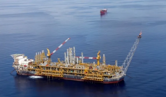
Enhancing Langsa restoration with location insights With a primary focus on securing the Langsa wells and devising new strategies for data acquisition, using GIS technology, Pertamina to build a foundation for data integration, analysis, and visualization. Learn more
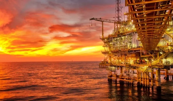
Sustaining oil and gas production for economic recovery Get insights on how resources organizations can leverage geospatial technology to meet the unprecedented challenges presented by COVID-19 in this Q&A with industry leaders. Learn more
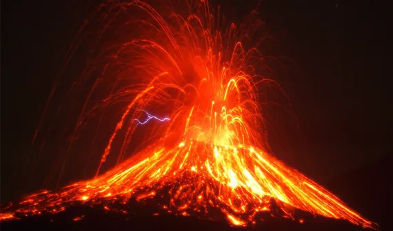
Tapping into geothermal, Indonesia reduces reliance on fossil fuels Pertamina Geothermal Energy applies GIS through many phases of operation, from exploration, development, and reservoir management to operational oversight. Learn more