
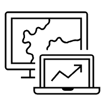
Geospatial AI brings artificial intelligence into ArcGIS to automate spatial analysis, predict outcomes, and scale intelligence across your organization.
What is Geospatial AI
Built on ArcGIS, Geospatial AI combines GIS and AI to automate analysis, detect changes and optimise decisions through the lens of location. It enables predictive modelling, real-time monitoring and scalable spatial operations across industries.
These capabilities, often referred to as GeoAI, combine spatial analysis, machine learning, deep learning, and enterprise data to uncover patterns, anticipate risk and enable proactive, predictive decision-making.

Why organizations are adopting GeoAI
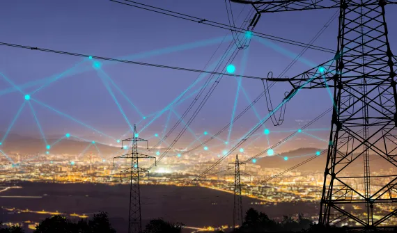
Across infrastructure, disaster management, urban planning, and natural resource operations, GeoAI enables smarter, more responsive decision-making.
Anticipate risks earlier
Detect change early, identify risks using predictive spatial analytics, and model potential outcomes.
Achieve greater visibility
Integrate data with spatial context to improve operational awareness.

Support faster, data-driven decisions
Deliver real-time insights to support informed decisions.
Scale intelligence across the organization
Automate and scale spatial intelligence enterprise wide.
GeoAI in action
See how PT PLN (Persero) reduced vegetation-related outage risk using GeoAI.
The challenge
Vegetation accounted for nearly 50% of power outage causes, with manual monitoring limiting visibility and scalability.
The approach
PLN deployed SmartDVM, applying machine learning to automatically detect and visualize vegetation encroachment through a central dashboard.
The impact
Risk assessment workflows ran up to 5× faster, achieving approximately ±85% accuracy against manual field validation.
The outcome
With quantified risk levels, PLN can now prioritize vegetation clearing more objectively, improving resource allocation and reducing outage potential.
Discover more real-world examples of organizations gaining value from GeoAI, download the e-book.
Other resources


Ready to learn more? Download the GeoAI eBook and discover how organizations are applying GeoAI in ArcGIS to automate workflows, predict risks, and improve operational efficiency.
FAQ
- What is GeoAI?
GeoAI combines Geographic Information Systems (GIS) with artificial intelligence (AI) to analyze geospatial data and generate predictive insights. By integrating spatial analysis with machine learning and deep learning, GeoAI enhances location intelligence and helps organizations make more informed decisions.
- What types of data can GeoAI analyze?
GeoAI processes a wide range of geospatial data, including satellite imagery, drone footage, remote sensing outputs, environmental data, and operational records. It uncovers patterns that may not be visible through traditional GIS analysis.
- How does GeoAI work in ArcGIS?
Within ArcGIS, GeoAI applies artificial intelligence, including machine learning and deep learning, to process imagery, remote sensing, and other spatial datasets. It identifies patterns, detects changes, and visualizes results in maps and dashboards—making advanced geospatial analysis more accessible and actionable.
- How does GeoAI support risk management?
GeoAI strengthens risk management by analyzing geospatial patterns and detecting early indicators of potential disruptions. By transforming raw GIS data into predictive insights, organizations can better navigate uncertainty, anticipate operational challenges, and take proactive measures before issues escalate.
- How can organizations get started with GeoAI using ArcGIS?
Start by identifying priority use cases (such as risk management or monitoring operational changes), prepare quality spatial data, and deploy AI models within ArcGIS to generate actionable location intelligence. From there, insights can be visualized in dashboards and maps to support decision-making and reduce uncertainty.