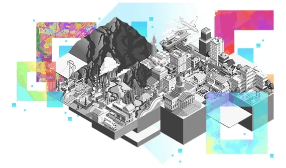
Get to know GIS solutions for conservation
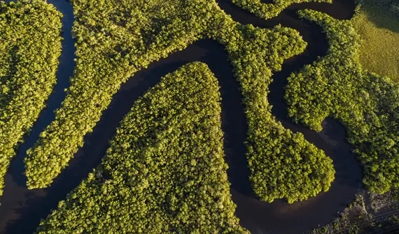
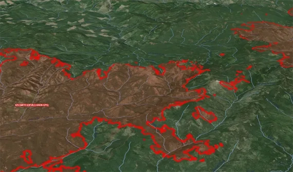
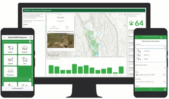
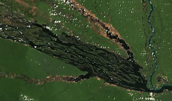
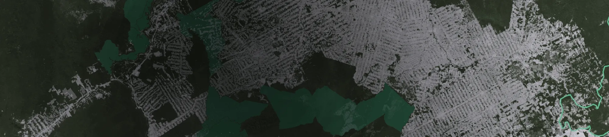
Prevent and track activities causing environmental damage. Geospatial tech is heightening conservation intelligence to predict deforestation, monitor wildfires and detect illegal poaching of wildlife.
Prevent and track activities causing environmental damage. Geospatial tech is heightening conservation intelligence to predict deforestation, monitor wildfires and detect illegal poaching of wildlife.