You're viewing the English translation
Esri Indonesia | Home

Main navigation

  • Industries
    • Commercial
      • Architecture, engineering and construction
      • Banking and financial services
      • Electricity
      • Forestry
      • Manufacturing
      • Market development
      • Media
      • Mining
      • Oil & gas
      • Plantation
      • Property and real estate
      • Retail
      • Telecommunications
      • Transportation and logistics
      • Water
    • Government
      • Solutions for government
      • Cities and municipalities
      • Defence and intelligence
      • Emergency and disaster response
      • Maritime and hydrography
      • Infrastructure and public works
      • Land administration
      • National government
      • Provincial government
      • Spatial data infrastructure
    • Community
      • GIS for schools
      • Fellowship Program
      • Fellowship Program Hall of Fame
      • Esri Young Scholar Award
      • Non-profit
  • Products
    • Capabilities
      • Digital twins
      • Field operations
      • Imagery and remote sensing
      • Real-time visualisation and analytics
      • Spatial analytics
    • About ArcGIS
      • ArcGIS user types
      • ArcGIS product licensing
      • ArcGIS Online
      • ArcGIS Pro
      • Migrating to ArcGIS Pro
      • ArcGIS Enterprise
      • ArcGIS Location Platform
      • ArcGIS Developer
      • ArcGIS for Personal Use
      • ArcGIS Online free trial
      • See other Esri products
    • Applications
      • Apps for the office
      • Field operations
      • Apps for the community
      • App Builders
      • LivingLab
      • NV5 Geospatial
    • Data
      • GIS data
      • Open Data
      • Data Interoperability
      • Open Standards
      • Esri’s Open Vision
  • Services and support
    • Services
      • ArcGIS maintenance program
      • Consulting services
      • Project services and application development
      • Managed services
    • Technical support
      • Esri Support App
      • Support resources
      • Support programs
      • Support request
    • Training
      • Training calendar
      • Training courses
      • GeoEnablement Portal
      • Submit a training enquiry
  • News and events
    • News
      • In the media
      • Mapping Evil with Mike King
      • Subscribe to news
    • Blogs
    • Events calendar
      • Webinars
      • Past event presentations
    • GIS Directions podcast
  • About
    • Esri Indonesia
      • Our people
      • Our history
      • Our relationship with Esri
      • Our relationship with Boustead
      • Our partner program
    • GIS technology
      • About Esri
      • Jack Dangermond
      • History of GIS
      • Location analytics
      • Esri map gallery
    • Careers
      • Internship program
      • Geospatial scholarship program
    • Contact us
      • Sales and services
      • Support request
      • Training
      • General enquiries
      • Subscribe
  • Store

You are here

  • Industries
  • Community
  • GIS for schools

GIS for schools

education banner illustration

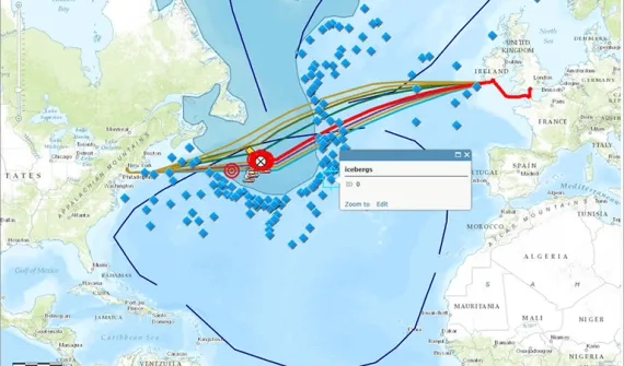
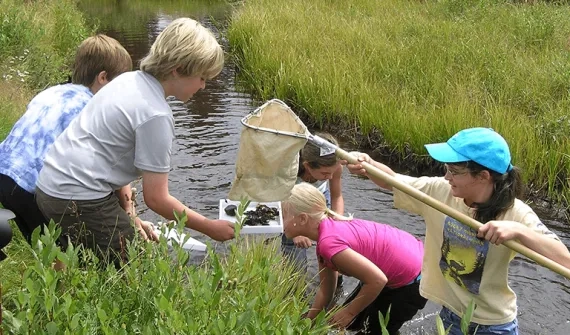
Using mapping technology in the classroom illustrates geographic context, helping students connect lessons with real places. Spatial analysis and critical-thinking skills prepare young minds to succeed in studies, further education, and most importantly, life.

Creating a brighter future with GIS technology video
Video Creating a brighter future with GIS technology

Discover the benefit of GIS as a tool to help students gather, visualise and understand data to make informed decisions.

More
16 things we can do to increase geoliteracy
Blog 16 things we can do to increase geo-literacy

Many of the big issues today are fundamentally tied to place and to understand them, we need to be able to assess geographic information to make wise decisions.

More

If you are a teacher at an Indonesian elementary or secondary school, you can apply for subscription by filling in the software request form.

Make social studies come alive with maps
News Make social studies come alive with maps

Web maps can transform subjects such as geography, history, and civics from long reading assignments into visual learning experiences.

More
Good maps lead to better questions news
News Good maps lead to better questions

Questions form the foundation of an investigation and good questions inevitably lead to more questions which ultimately lead to better answers.

More
Why GIS in education matters
News Why GIS in education matters

Spatial thinking is concerned with all of the relevant issues of our time, because all of these issues have a geographic component. Spatial thinking empowers students to understand global issues.

More

Subscribe to
Esri Indonesia news

Esri Indonesia | Home

Footer menu

  • Sitemap
  • Privacy
  • Website Terms and Conditions

© 2025 Esri Indonesia All rights reserved.