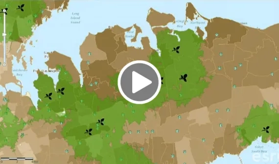
Home

Main navigation

  • Industries
    • Commercial
      • Agriculture and plantation
      • Banking and financial services
      • Electricity
      • Forestry
      • Gas
      • Manufacturing
      • Market development
      • Media
      • Mining
      • Petroleum
      • Property and real estate
      • Retail
      • Telecommunications
      • Transportation and logistics
      • Water
    • Government
      • Cities and municipalities
      • Defence and intelligence
      • Emergency and disaster response
      • Infrastructure and public works
      • Land administration
      • National government
      • Provincial government
      • Spatial data infrastructure
    • Community
      • GIS for schools
      • Internship Program
      • Future Leader Program
      • Esri Young Scholars Award
      • Non-profit
  • Products
    • About ArcGIS
      • What's new in ArcGIS
      • ArcGIS Online
      • ArcGIS Desktop
      • ArcGIS Pro
      • ArcGIS Enterprise
      • ArcGIS Platform
      • ArcGIS for Developers
      • ArcGIS for Personal Use
      • ArcGIS platform free trial
      • Esri CityEngine
      • ArcGIS Urban
    • ArcGIS Apps
      • Apps for the office
      • Field Operations
      • Apps for the community
      • App Builders
    • Harris Geospatial
      • ENVI
      • IDL
      • ENVI SARscape
      • Jagwire
      • Helios
      • AMPlify
      • Geospatial Services Framework
    • Data
      • GIS data
      • Open Data
      • Data Interoperability
      • Open Standards
      • Esri’s Open Vision
  • Services and support
    • Services
      • Professional services
      • Implementation services
    • Technical support
      • Resolving incidents
      • Support FAQs
      • Esri platform resources
      • Support maintenance
      • Support request (English)
      • Support request (Bahasa)
    • Training
      • Training calendar
      • Training courses
      • Training FAQs
      • Virtual Classroom Training
    • COVID-19 assistance
      • Esri Disaster Response Program
      • Business Continuity Solution
      • ESSC COVID-19 resources hub
      • COVID-19 cases dashboard
      • DRP support (English)
      • DRP support (Bahasa)
  • News and events
    • News
      • Subscribe to news
      • Media and PR enquiry
    • Blogs
    • Events Calendar
      • Webinars
      • UC presentations
      • Past event presentations
  • About
    • Esri Indonesia
      • Our people
      • Our history
      • Our relationship with Esri
      • Our relationship with Boustead
      • Our partner program
      • Careers
    • GIS technology
      • About Esri
      • Jack Dangermond
      • History of GIS
      • About location analytics
      • Esri map gallery
    • Contact us
      • General enquiries
      • Sales
      • Services
      • Training
      • Support request (Bahasa)
      • Support request (English)
      • Media
      • Subscribe
  • Store

You are here

  • Industries
  • Commercial
  • Retail

GIS in retail

Map and analyse customer and demographic data. Make data-driven decisions about site selection, marketing, and product assortment.

Wendy's market optimisation GIS advantage video
Video Wendy's market optimisation GIS advantage

See how global fast food retailer Wendy's uses GIS to analyse the market, targeting products to profitable areas, customising store rollout, and analysing business performance using location data.

More
Location intelligence driving retail disruption e-book
E-book Location intelligence driving retail disruption

Download the e-book to find out how retailers are using location intelligence to build customer engagement and staying competitive through empowered consumers.

More

To learn more about utilising GIS in retail, please call (021) 2940 6355 or email us.

Starbuck’s: location-driven success video
Video Starbucks' location-driven success

Serving over 70 million customers per week, Starbucks relies on GIS technology to gain an understanding of markets for store location optimisation, using layers of data to make accurate business decisions.

More
Shopping centre market intelligence video
Video Shopping centre market intelligence

Learn how one of the world's leading shopping centre groups makes multi-million dollar real estate decisions driven by insights from accurate data, demographics, psychographics and competitor activity.

More
Improving store performance with GIS case study
Case study Improving store performance

One of the world's largest supermarket groups, uses smart mapping technology to guide expansion and development, gaining a better understanding of customer behaviour and potential.

More

Subscribe to
Esri Indonesia news


Footer menu

  • Sitemap
  • Privacy
  • Disclaimer

© 2021 Esri Indonesia All rights reserved.