
Maximizing national basemap production
National mapping operations are inherently geographic, involving data collection, management, analysis, and dissemination for a comprehensive understanding of a nation’s landscape. Through automated and modernized workflows, agencies can efficiently produce authoritative geospatial data covering their entire country, enabling better decision-making and data management at a national scale.
ArcGIS is a secure, scalable platform supporting the daily operations of national mapping agencies.

Supporting national mapping operations
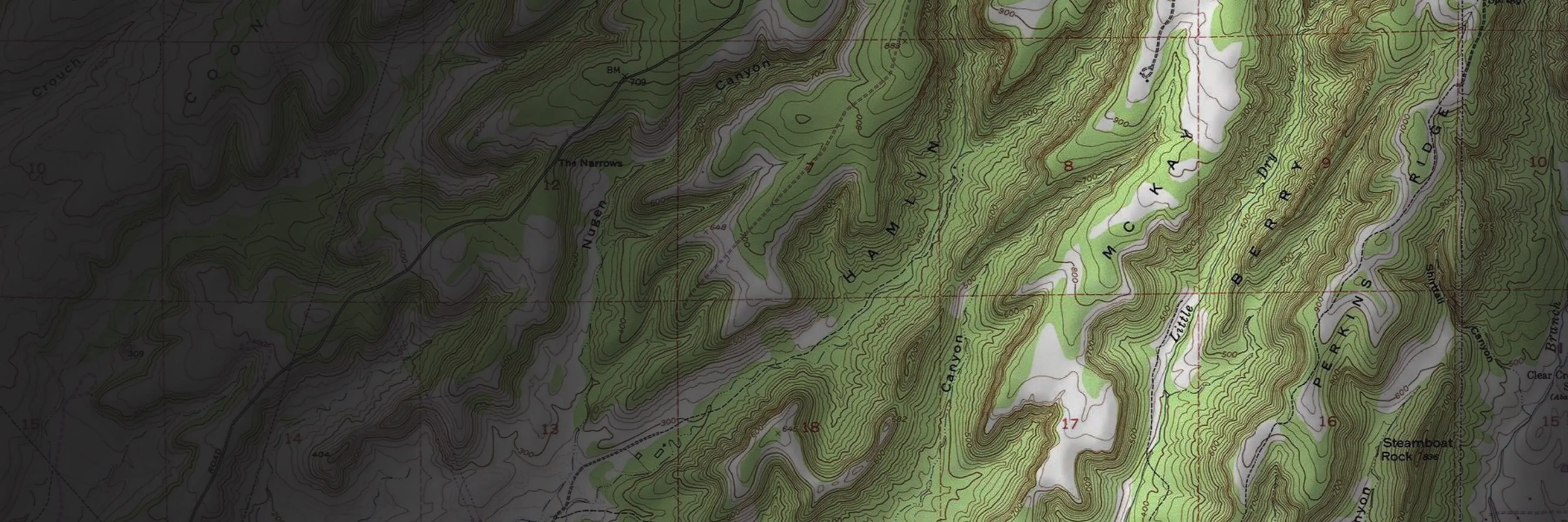
DATA COLLECTION
Gather and validate diverse geospatial data using remote sensing, AI, and field verifications to enhance your agency’s data.
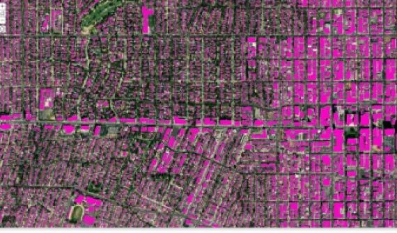
DATA MANAGEMENT
Deliver up-to-date, authoritative geospatial data your stakeholders and customers can trust.
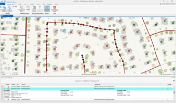
MAP PRODUCTION
Utilize GIS automation to maintain data integrity, expedite map and data creation, and ensure consistent quality.
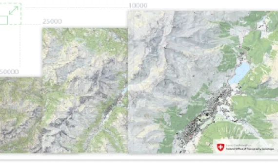
NATIONAL COLLABORATION
Share authoritative geospatial data to enable informed decision-making and foster collaboration through apps and services.
What’s included
With this program, national mapping organizations get access to tools, apps, and services that enable location-based strategies.
Core software
Esri software supports data visualization, advanced analysis, data maintenance, and sharing capabilities.

Access to content and data
Esri provides authoritative and ready-to-use content, including datasets, basemaps, and apps that supplement existing geospatial data.

ArcGIS Solutions
ArcGIS Solutions is a collection of industry-specific ArcGIS configurations to help you leverage authoritative data and improve operations.

Training and expert help
Esri offers many online training and in-person resources, such as passes to the Esri User Conference, discounted training courses, and seminars.
Contact Esri
If you are interested in finding out if you and your organization qualify, fill out the form to reach an Esri representative for more information.