PT Pertamina, Indonesia’s state-owned energy enterprise, introduced its latest digital innovation, an advanced permit management system utilizing ArcGIS-based geospatial technology. This groundbreaking initiative launched at the 2025 Esri User Conference in San Diego, United States, a premier global event that brings together professionals and organizations from around the world to explore advancements in geographic information systems (GIS).
On the global stage of Esri User Conference 2025, Pertamina unveils a real-time permit system powered by geospatial technology—demonstrating potential savings of millions of dollars.
This new system addresses the complexity and fragmentation often associated with permit management across Pertamina’s diverse business units. Through an integrated approach, this geospatial solution enables real-time monitoring of over 5,000 operational permits. The system not only features a dynamic spatial dashboard but is also equipped with a text-based chatbot and an early warning system for permit expiration alerts.
Vice President Corporate Communication PT Pertamina (Persero) Fadjar Djoko Santoso said that this digitalization isn’t just about storing permit data, it’s about making it spatially visible - location, status, and even potential conflicts - all within a single interactive map
“This spatial intelligence supports asset optimization, prevents penalties, and improves cross-entity efficiency. It’s part of Pertamina’s roadmap toward world-class governance,” he added.
In this first phase, Fajar added; the system successfully integrated 322 key operational permits, including PLO (License to Operate), KKPR (Land Use Conformity), and KKPRL (Marine Spatial Conformity), with zero delays in the recertification process. This has helped Pertamina avoid potential costs of up to USD 25 million, including penalties and re-engineering risks.
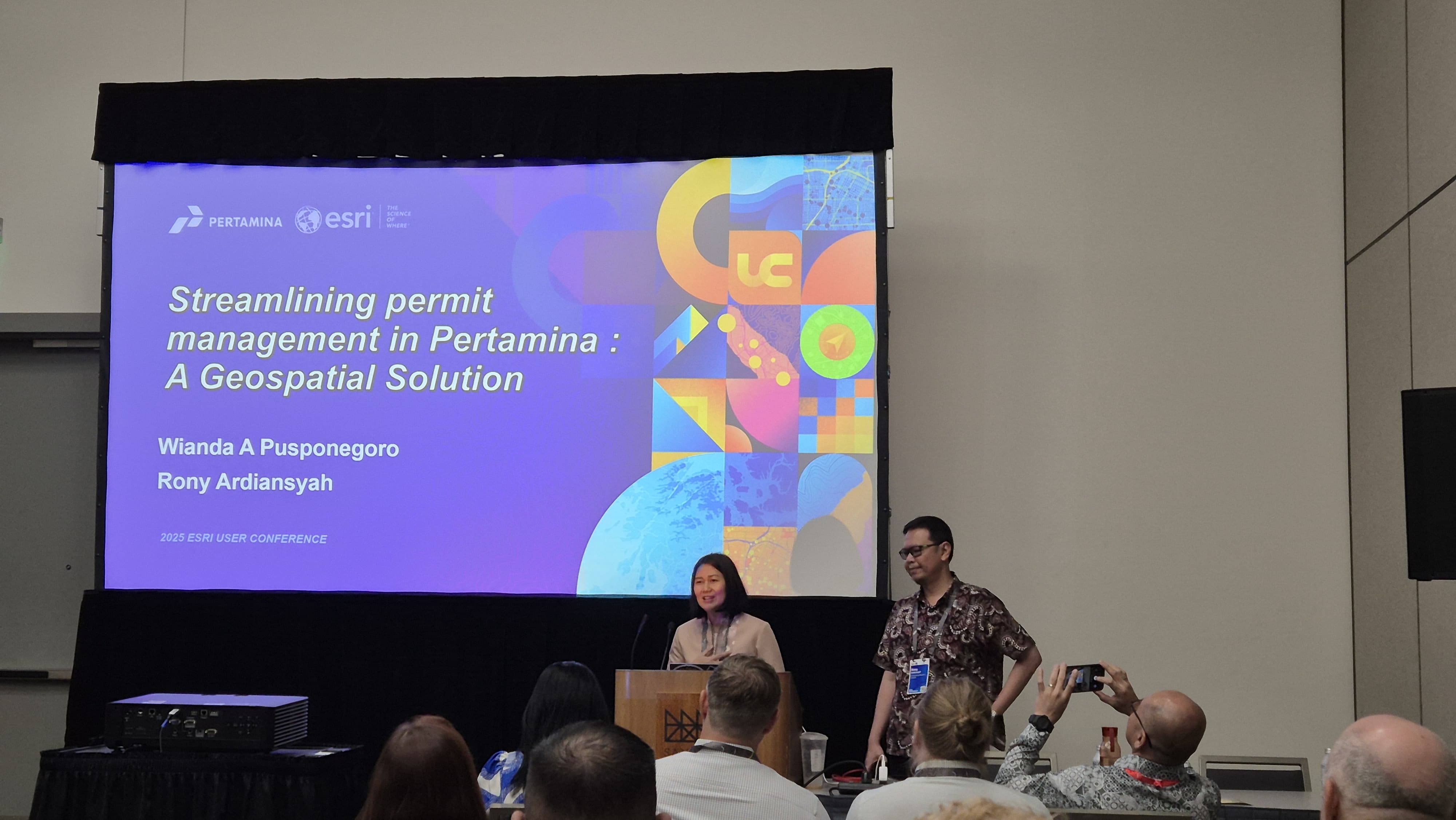
Pertamina at Esri User Conference in San Diego, California, demonstrating their new integrated permit management system.
“From an operational standpoint, the system has proven to be a true game changer. -we can now monitor permit statuses in real time, anticipate risks earlier, and ensure uninterrupted operations. This marks a significant transformation in maintaining national energy continuity,” stated Fadjar.
He emphasized that, this initiative demonstrates how geospatial technology can address the challenges of modern energy governance—not just for internal efficiency, but to secure Indonesia’s energy future in a safe and sustainable way.
According to him, this initiative proves that geospatial technology not only drives internal efficiency but also plays a vital role in ensuring a secure and sustainable energy future for Indonesia. Fadjar added that this effort aligns with Indonesian President Prabowo’s Asta Cita vision, particularly in the application of technological innovation.
“The digital innovation of this system is expected to positively impact the smooth distribution, availability, and affordability of energy,” Fadjar added.
In support of this transformation, Esri Indonesia emphasized the adaptability of the ArcGIS platform deployed by Pertamina.
“This geospatial solution illustrates how Esri’s technology can be flexibly adapted to meet the demands of industries like energy. Geospatial systems have evolved far beyond visualization—they serve as a foundation for location-based strategic decision-making,” said Esri Indonesia President Director, Leslie Wong.
Pertamina targets full implementation of the system by August 2025, with complete integration across all sub-holdings. This initiative marks a key milestone in the company’s digital transformation journey, aligning with the national energy company’s commitment to sustainability and operational efficiency.