SKK Migas and the Provincial Government of DKI Jakarta won the 2024 SAG Award (The Esri Special Achievement in GIS) in San Diego, USA. The award is given for their contribution to building a connected and integrated geospatial information system that promotes faster, more effective and efficient collaboration and data exchange in their respective institutions.
The SAG Awards are presented by Esri to organizations or institutions in recognition of their innovation in the application of geospatial information systems (GIS). Esri supports over 650,000 organizations globally and is the world’s market leader in GIS software, location intelligence and mapping. Taking a geographic approach to problem-solving, the company uses science and technology to enhance operational awarness, uncover new workflows and support sustainability.
As a regulator, SKK Migas is responsible for managing upstream oil and gas business activities based on Cooperation Contracts. The mission includes achieving production targets of 1 million barrels of oil per day and 12 million standard cubic feet of gas per day by 2030. To support this goal, SKK Migas is developing a geospatial information system (GIS) as a tool for monitoring, data exchange, and data management of national upstream oil and gas.
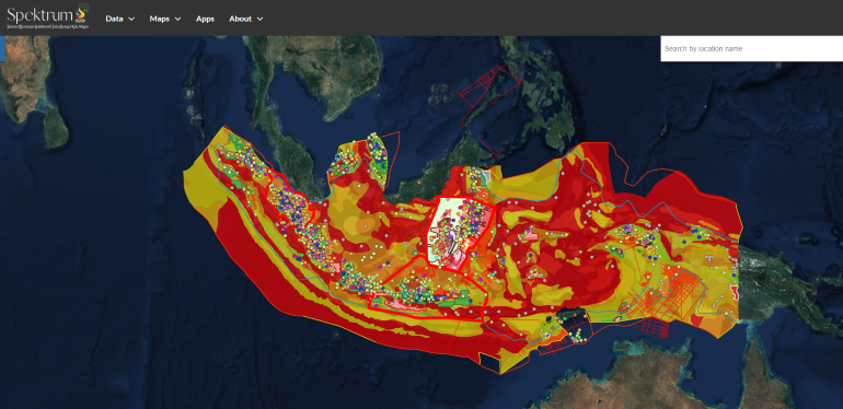
According to Adji Arwinda, Senior Analyst for Petroleum Data Management at SKK Migas, the use of geospatial technology enables better collaboration among upstream oil and gas industry stakeholders, especially Cooperation Contract Companies (KKKS).
“Web-based mapping allows SKK Migas and KKKS to collaborate and share insights with data governance that is transparent, high quality and compliant with reporting standards. The use of GIS technology will increase exploration activities, boost investments, and ultimately increase oil and gas production,” he said.
Meanwhile, the Provincial Government of DKI Jakarta won the SAG Award for the use of the geospatial information system on the jakartasatu.jakarta.go.id site. The website is a means of communication and visualization of maps and data from the Jakarta Satu program (development of one map, one data, one policy), which is used by the Provincial Government of the Special Region of Jakarta and can be accessed by the wider public.
Head of Dinas Cipta Karya, Tata Ruang dan Pertanahan Provincial Government of DKI Jakarta Heru Hermawanto, said that Jakarta Satu is a source of geospatial-based information as a basis for policy making. The use of Esri’s geospatial technology promotes optimization of Regional Original Income (PAD), and transformation of policies to be more pro-public.
“The Jakarta Satu system enables decision makers in at least 27 institutions or agencies within the DKI Jakarta Province to implement citizen-centered policies to improve citizens' living standards,” he said.
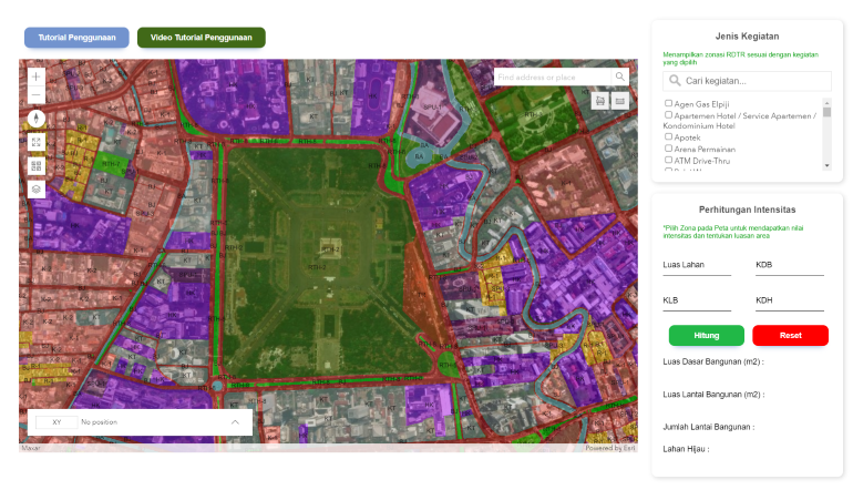
He explained that based on the data visualized through the system, decision makers can predict budgets and make financial allocations for projects with the latest information available in real time. This reduces the risks associated with manual data processing, and drives a faster and more scalable decision-making system.
Esri Indonesia President Director Leslie Wong appreciates SKK Migas and the Provincial Government of DKI Jakarta for developing solutions with the use of GIS technology, which has a positive impact on performance and public services.
“Both SKK Migas and the Provincial Government of DKI Jakarta have harnessed the power of geospatial information systems to address complex challenges, make well-informed business decisions, and implement government policies more efficiently,” said Mr. Wong.
If you would like more details or have any questions, please contact the media team.