Ready-to-deploy GIS solutions for government
Governments across the world are embracing geospatial technology to improve the way they deliver services to their communities and build more resilient, sustainable, and prosperous places to live.
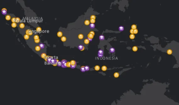
To support this, Esri Indonesia’s Onemap.id centralised portal provides a suite of comprehensive and ready-to-deploy geospatial solutions for government – making it simple to automate and streamline workflows, reduce data silos, increase transparency and enable effective interagency collaboration.
Connect with a specialist to learn more about Onemap.id and GIS solutions for government.
Geospatial enablement program for national mapping agencies
Discover how Esri is helping national mapping agencies with a discounted program of software, training, and content.