You're viewing the English translation
Esri Indonesia | Home

Main navigation

  • Industries
    • Commercial
      • Architecture, engineering and construction
      • Banking and financial services
      • Electricity
      • Forestry
      • Manufacturing
      • Market development
      • Media
      • Mining
      • Oil & gas
      • Plantation
      • Property and real estate
      • Retail
      • Telecommunications
      • Transportation and logistics
      • Water
    • Government
      • Solutions for government
      • Cities and municipalities
      • Defence and intelligence
      • Emergency and disaster response
      • Maritime and hydrography
      • Infrastructure and public works
      • Land administration
      • National government
      • Provincial government
      • Spatial data infrastructure
    • Community
      • GIS for schools
      • Fellowship Program
      • Fellowship Program Hall of Fame
      • Esri Young Scholar Award
      • Non-profit
  • Products
    • Capabilities
      • Digital twins
      • Field operations
      • Imagery and remote sensing
      • Real-time visualisation and analytics
      • Spatial analytics
    • About ArcGIS
      • ArcGIS user types
      • ArcGIS product licensing
      • ArcGIS Online
      • ArcGIS Pro
      • Migrating to ArcGIS Pro
      • ArcGIS Enterprise
      • ArcGIS Location Platform
      • ArcGIS Developer
      • ArcGIS for Personal Use
      • ArcGIS Online free trial
      • See other Esri products
    • Applications
      • Apps for the office
      • Field operations
      • Apps for the community
      • App Builders
      • LivingLab
      • NV5 Geospatial
    • Data
      • GIS data
      • Open Data
      • Data Interoperability
      • Open Standards
      • Esri’s Open Vision
  • Services and support
    • Services
      • ArcGIS maintenance program
      • Consulting services
      • Project services and application development
      • Managed services
    • Technical support
      • Esri Support App
      • Support resources
      • Support programs
      • Support request
    • Training
      • Training calendar
      • Training courses
      • GeoEnablement Portal
      • Submit a training enquiry
  • News and events
    • News
      • In the media
      • Mapping Evil with Mike King
      • Subscribe to news
    • Blogs
    • Events calendar
      • Webinars
      • Past event presentations
    • GIS Directions podcast
  • About
    • Esri Indonesia
      • Our people
      • Our history
      • Our relationship with Esri
      • Our relationship with Boustead
      • Our partner program
    • GIS technology
      • About Esri
      • Jack Dangermond
      • History of GIS
      • Location analytics
      • Esri map gallery
    • Careers
      • Internship program
      • Geospatial scholarship program
    • Contact us
      • Sales and services
      • Support request
      • Training
      • General enquiries
      • Subscribe
  • Store
Nasrul Amir_profile

Nasrul Amir, S.Kom

Supervisor of Information Technology Development
PDAM Surya Sembada, Surabaya, Indonesia

With 13 years' experience in PDAM Surya Sembada's IT division, Nasrul Amir has built many applications to support the organization's operational activities, as well successfully developing an online payment system.

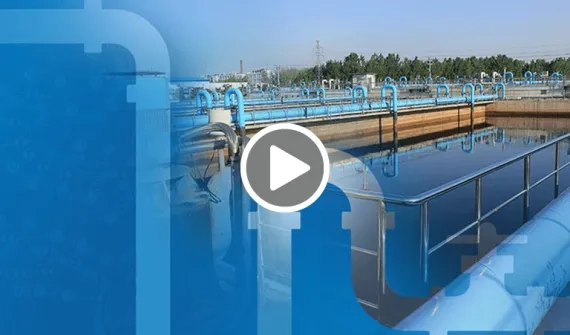
Geo-enabling a smarter water system video card.png
Webinar Kelola sumber daya air lebih cermat

Pembicara: Wahyu Eko Saputro, Wildan Ryan Irfana & Nasrul Amil, S.Kom

Temukan bagaimana kecerdasan lokasi dapat menyediakan pencatatan aset yang terpercaya,  aktivitas lapangan yang optimal, dan layanan pelanggan yang prima untuk menciptakan nilai bisnis nyata di perusahaan utilitas Anda.

Learn more
Geo-enabling a smarter water system video card.png
Webinar Geo-enabling a smarter water system

Speakers: Wahyu Eko Saputro, Wildan Ryan Irfana & Nasrul Amil, S.Kom

Discover how location intelligence can provide a robust asset registry, optimised mobile field activities, and improved customer service to create real business value across your utility enterprise.

Learn more
smarter-water-utilities-through-location-intelligence homepage card
Jan 21
Webinar Geo-enabling a smarter water system Discover how location intelligence can provide a robust asset registry, optimised mobile field activities, and improved customer service to create real business value across your utility enterprise Learn More

Subscribe to
Esri Indonesia news

Esri Indonesia | Home

Footer menu

  • Sitemap
  • Privacy
  • Website Terms and Conditions

© 2025 Esri Indonesia All rights reserved.