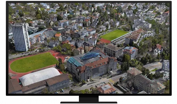
End-to-end cloud-based drone mapping software to revolutionise your imagery data collection, processing, and analysis. Maintain a complete picture of your drone inventory and flight history, stay up-to-date with accurate imagery and securely process in a scalable cloud environment. Save time with measurement and analysis tools and directly publish your drone data to your ArcGIS organization to perform advanced drone analytics such as object detection and artificial intelligence (AI).
Elevate your drone imagery

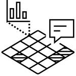

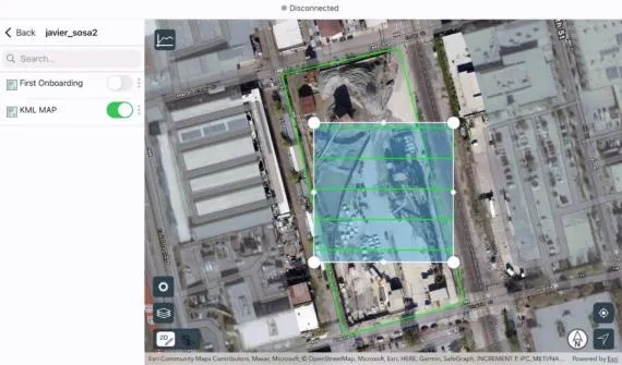
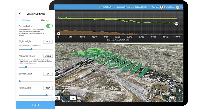
Plan autonomous drone flights in 3D
- Increase efficiency by creating and sharing advanced 3D flight plans with your pilots
- Overlay 2D and 3D data from ArcGIS Online and ArcGIS Enterprise for enhanced flight safety and data quality
- Manage your data in the field and upload it to the cloud
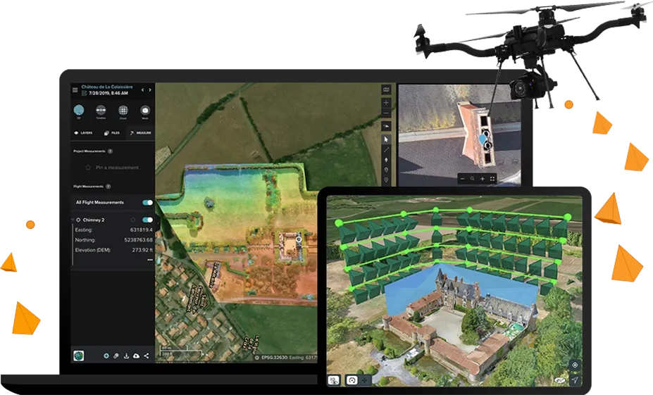
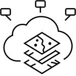
Process and analyze in the cloud
- Unlimited amounts of drone flight data are processed into 2D and 3D outputs through a scalable cloud environment
- Ensure high accuracy with automatic ground control point detection
- Easily visualize and analyze results directly in a web browser
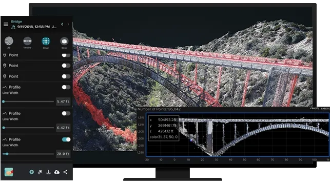
Drone analytics
- Perform drone analytics by measuring distances, surface areas, and volumetrics; conducting temporal analysis; generating cut/fill maps; and measuring change over time
- Maintain quality control by comparing your drone data to design overlays - including those in your Autodesk cloud environment - or compare it to drone data captured earlier in the project

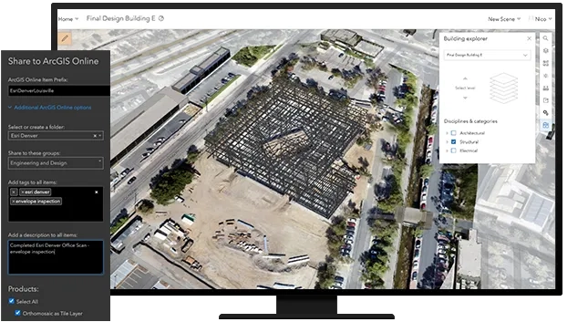
Quickly share drone and project data
- Share information with your stakeholders in formats they understand, whether in a 3D view, as a report, or as a map within ArcGIS Online or ArcGIS Enterprise
- Invite read-only users to analyze data in Site Scan Manager for ArcGIS
- Share content and report issues within Autodesk BIM 360; or export in common file formats
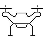
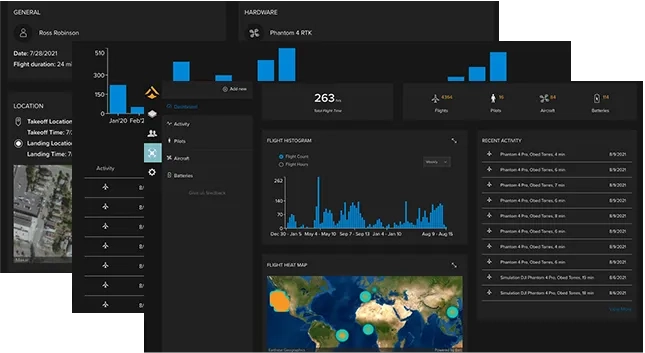
Enterprise fleet management
- Keep track of flights, drone hardware, and pilot flight history - all in one place
- Drone program managers can create custom preflight checklists for teams and store responses in the cloud
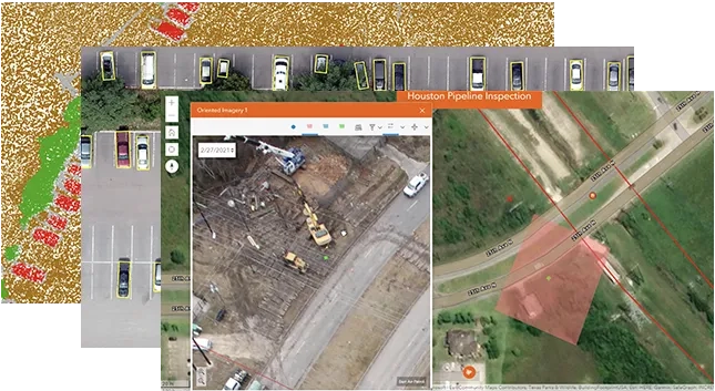
Advanced data analysis in ArcGIS
- Make Site Scan aerial photogrammetry data available throughout the ArcGIS system, on-premises or in the cloud
- Perform and automate advanced analytics such as object detection with ArcGIS Image Analyst
- Easily integrate your drone imagery with building information modeling (BIM), lidar data, real-time Internet of Things (IoT) data, and more
How it works

Works with ArcGIS
Site Scan for ArcGIS is a comprehensive drone software solution that you can use with your ArcGIS Online or ArcGIS Enterprise data.

ArcGIS Online
Import your organization's saved GIS data and share your data with your ArcGIS Online organization for further analysis and collaboration.
ArcGIS Enterprise
Import your saved GIS data and share it in your ArcGIS Enterprise portal for analysis and collaboration.
ArcGIS QuickCapture
Use ArcGIS QuickCapture together with Site Scan for ArcGIS to capture features remotely using the drone's location.

ArcGIS Image Analyst
Automate and speed up workflows with a robust set of image-based machine and deep learning tools, raster functions, and geoprocessing tools.