ArcGIS offers unique capabilities and flexible licensing for applying location-based analytics to your business practices. Gain greater insights using contextual tools to visualize and analyze your data. Collaborate and share via maps, apps, and dashboard reports.
Spatial analytics
Spatial analytics is the heart and soul of ArcGIS. You use it to find the best location for your business, plan for smarter communities, and prepare and respond faster in crucial situations.
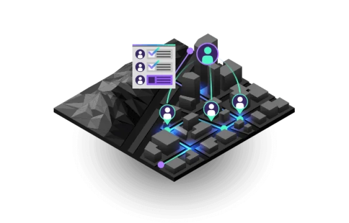
Field operations
Location is at the heart of field activities. Focused ArcGIS applications can be used stand-alone or in combination to support field workflows and enable office and field personnel to work in unison, using the same authoritative data.
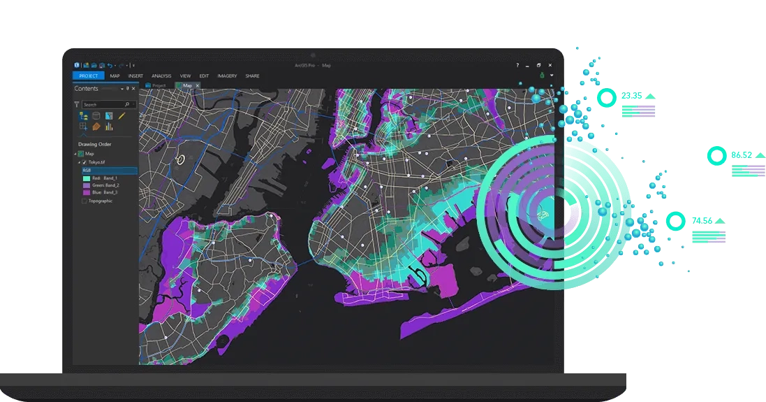
Mapping & visualisation
Maps help you spot spatial patterns in your data so you can make better decisions and take action, breaking down barriers and facilitating collaboration. ArcGIS gives you the ability to create, use, and share maps on any device.
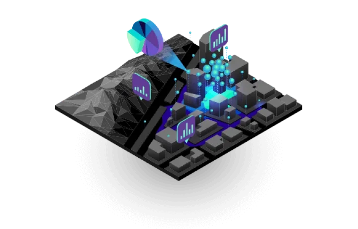
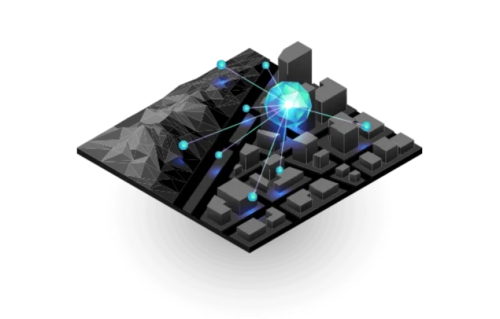
Real-time visualisation & analytics
Real-time GIS empowers you with location monitoring of any type of sensor or device - accelerating response times, optimising safety, and improving operational awareness across all assets and activities, whether in motion or at rest.

Imagery & remote sensing
ArcGIS gives you everything you need to manage and extract answers from imagery and remotely sensed data. It includes imagery tools and workflows for visualisation and analysis, and access to the world's largest imagery collection.

Data collection & management
With ArcGIS, you can easily collect, crowdsource, store, access, and share your data efficiently and securely. You can integrate data stored in your business systems and geo-enable any data from any source.

What is included
ArcGIS is your first step toward better, smarter decision making and a more efficient organization. Just about every problem and situation has a location aspect. Unlock the power of location with one of the best technology investments you can make.

Apps
A suite of apps that help you get the job done on any device, anywhere and anytime.

Data and maps
Basemaps, imagery, demographics and lifestyle data, consumer spending and business data, and authoritative maps on thousands of topics.

Developer tools
APIs and SDKs for building custom web, mobile, and desktop apps for mapping, visualisation, and analysis.

Training
Online and classroom training that fits your schedule, background, responsibilities, and life experience.

Support
World-class support by people who are ready to address any question or issue related to ArcGIS.

Security
Our guarantee that ArcGIS is secure and trustworthy while meeting your privacy and compliance needs.

Community
Access to the largest community of mapping and location intelligence professionals, where you can share, chat, and collaborate.

Esri User Conference
Attend the biggest GIS event in the world and discover how GIS is transforming our world.