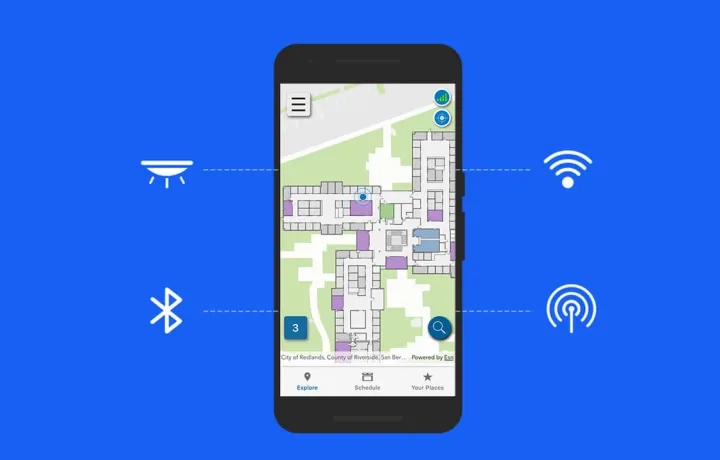
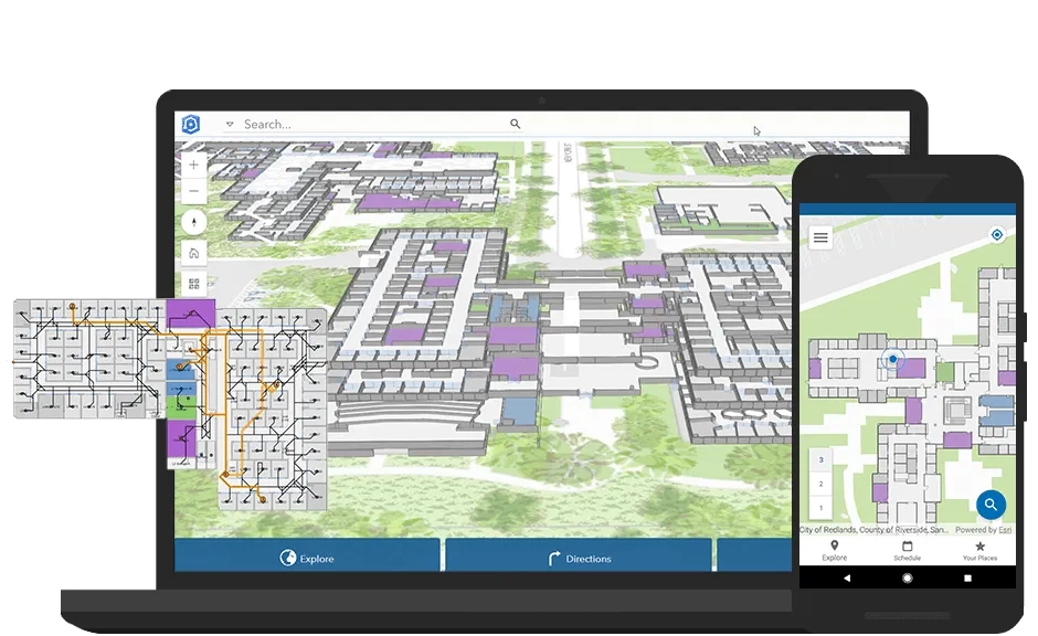
ArcGIS Indoors is a complete system for indoor mapping used to create a connected workplace. It provides a common operating picture for executives, workplace services personnel, and other employees and visitors to understand, manage, and use their workplace environment. Through an extended version of ArcGIS Pro, native web and mobile applications including iOS, and an indoor information model, ArcGIS Indoors helps you create, customise, share, and apply workplace maps and location data so you can manage workplace operations and build an environment that is comfortable and engaging for your people.
Enable, engage, and empower your workplace
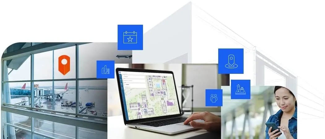
Evaluate your business activities within the workplace environment, enabling a more comfortable, confident, and collaborative workforce.
Interested to learn more about how ArcGIS Indoors can enhance your operations and employee mobility? Email an ArcGIS specialist or call on email us or call (021) 2709 9881 – 84.
How ArcGIS Indoors Works for Your Organisation
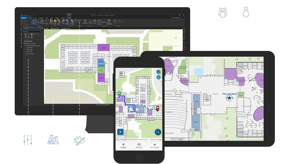
Build an indoor GIS
ArcGIS Indoors is designed to work with other parts of the ArcGIS platform, so you can extend the capability to natively leverage other aspects of ArcGIS, the world’s leading mapping and spatial analytics platform. Powered by ArcGIS Enterprise and portal, ArcGIS Indoors can be accessed and used for visualisation and analysis with applications such as:
- ArcGIS Operations Dashboard: visualisation and monitoring of the workplace in real time
- ArcGIS GeoEvent Server: Real-time streaming and analytics of workplace data
- ArcGIS field operations apps, including Survey123 for workplace 311 requests
Indoor Positioning System (IPS)
Experience indoor positioning with the same level of comfort you are used to outdoors.
ArcGIS Indoors makes real-time wayfinding, analytical location data, and tracking services available inside buildings. ArcGIS Indoors does this by providing floor-aware 3D maps and focused apps to support a variety of workplace and facility users, including owner/operators, maintenance and service personnel, security staff, employees, and visitors. The system is being built to support multiple existing IPS providers.
