Geo-enabling Indonesia 4.0
Geo-enabling Indonesia 4.0
Join over 500 geospatial enthusiasts, industry leaders, and decision-makers from a wide range of industries, in the largest event on Indonesia's spatial calendar: the Esri Indonesia User Conference (EIUC). The one-day event will feature international and local thought leaders who will be sharing best practices on how GIS technology can further drive the country's Industry 4.0 agenda.
Key highlights
- Meet one of the most influential individuals in the geospatial industry - Esri President and Founder Jack Dangermond
- Learn how the One Map Policy is geo-enabling Indonesia’s Industry 4.0 agenda
- Discover how cities are using GIS technology to create safe, prosperous and resilient communities
- Hear how organisations can use the predictive power of Artificial Intelligence and location analytics to automate processes, uncover hidden patterns, gain crucial insights, and create a competitive edge
Speakers
Jack Dangermond
Esri
Founder and President
Pioneer of the spatial technologies industry
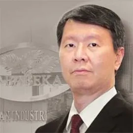
Tjahjadi Rahardja
PT Jababeka & Co. Tbk
Director
Tjahjadi is a Director at Jababeka responsible for the Infrastructure Business Pillar and Information Technology.
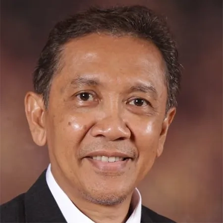
Prof. Dr. Hasanuddin Zainal Abidin
Former Chairman Badan Informasi Geospasial - Geospatial Information Agency (BIG)
Bandung Institute of Technology
Prof. Dr. Hasanuddin Z. Abidin is a strong advocate of geospatial technology and an expert in geodesy.


