
Where innovation meets impact
GeoInnovation Indonesia 2025 honored leading organizations through the Excellence in Impact and Sustainability Impact Awards, celebrating transformative GIS applications that deliver value to people and businesses while supporting national sustainability goals.
Hear inspiring stories of innovation and spatial intelligence is powering better decisions and meaningful change to build our nation.


On-demand hands-on Workshop

Meet the speakers

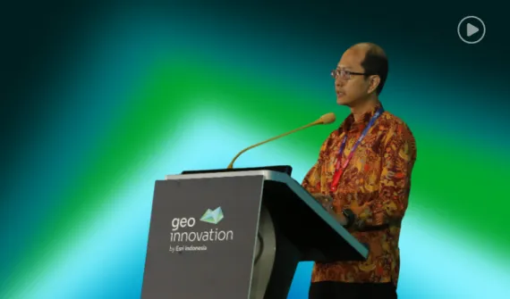
Fahri Hamzah
Ministry of Housing and Settlement, Jakarta
Deputy Minister
Fahri Hamzah is the Deputy Minister of Housing and Settlement with extensive experience in governance and public policy. He is committed to driving transparent and efficient housing strategies that support community development.

Habisanti
Esri Indonesia, Jakarta
Country General Manager
Habisanti is the Country Manager of Esri Indonesia, with over 20 years of leadership experience in the technology sector. She has held key roles where she consistently driving business growth, strategic partnerships, and operational excellence across diverse markets.

Very Fernando
PT PLN (Persero), Jakarta
IT Analyst
Very Fernando is a professional at PLN specializing in distribution asset management and digital transformation, with a focus on integrating GIS, satellite imagery, and AI to improve operational efficiency and sustainability.

Joko Christianto
PT Bank Tabungan Negara (Persero) Tbk (Bank BTN), Jakarta
Senior Vice President (SVP) of IT Strategic Planning
Joko Christianto is the SVP of IT Strategic Planning at Bank BTN, responsible for formulating and executing technology strategies to drive the bank's digital transformation and innovation.

Dismas Bismo
Esri Indonesia, Jakarta
Head of Solution Engineering
Dismas Bismo is the Head of Solution Engineering at Esri Indonesia, bringing over 15 years of experience in technology leadership, customer success, and strategic delivery across the Asia Pacific region.

Widwiyaswati Roosita Dewi
Esri Indonesia, Jakarta
Solution Strategist Specialist
Creating solutions for the commercial, real estate and transportation sectors.

Rifqi Oktavianto
Esri Indonesia, Indonesia
Team Lead, Utilities and Local Government Solutions
Building GIS applications for utilities and local government sectors in Indonesia.

Indika Aries Pratama
Esri Indonesia
Senior Solution Analyst
Esri Indonesia's Senior Solution Analyst, Indika Aries Pratama, specialises map visualisation and 3D modelling.

Rahmat Faisal
Esri Indonesia, Jakarta
Software Developer - Product and Technology
Rahmat Faisal, Software Developer - Product and Technology di Esri Indonesia, adalah ahli dalam pengembangan backend, AI, dan GIS, dengan spesialisasi produk pada teknologi ArcGIS seperti GeoAnalytics dan Geostatistical Analyst.

Yanuar Adji Nugroho
Esri indonesia, Jakarta
Product & Technology Team Lead
Adji has 10 years of experience in geospatial industry and holds master of engineering in geomatics