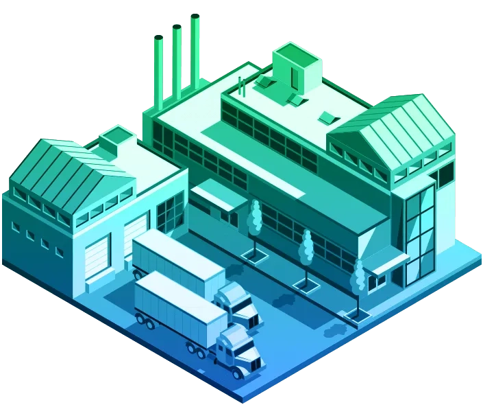
You are here Industries Commercial Manufacturing GIS in manufacturing Connect with a specialist Maps and spatial analysis empower innovative manufacturers. Increase sales, decrease risk, and gain market share. Video GM moves beyond dots on a map General Motors' robust spatial analytics gives 4,300 GM dealers insights into how to successfully meet local demand and grow business. More E-book A new era of supply chain visibility While supply chain systems are mostly linear, organisations now have a strategic opportunity to understand how GIS provides a natural layer of collaboration that brings together information sources and organises them within the context of their location. More For more about utilising GIS in manufacturing please call (021) 2709 9881 – 84 or email us. News Businesses prioritise supply chain transformation Manufacturers putting off digitally transforming their supply chain risk giving competitors a head start and missing out on a global operating picture. More Video Securing revenues with IoT IoT helps airplane engine manufacturer safeguard revenues on its uptime business model by connecting the engine to the IoT, tracking its status wherever it goes in the world. More Blog Geo-blockchain emerges in manufacturing and logistics Geo-blockchain allows companies to interrogate what goods changed hands, where they were exchanged and under what conditions. More
Video GM moves beyond dots on a map General Motors' robust spatial analytics gives 4,300 GM dealers insights into how to successfully meet local demand and grow business. More
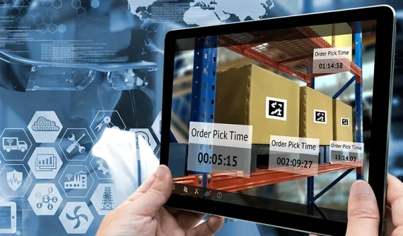
E-book A new era of supply chain visibility While supply chain systems are mostly linear, organisations now have a strategic opportunity to understand how GIS provides a natural layer of collaboration that brings together information sources and organises them within the context of their location. More
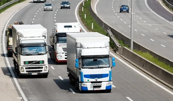
News Businesses prioritise supply chain transformation Manufacturers putting off digitally transforming their supply chain risk giving competitors a head start and missing out on a global operating picture. More
Video Securing revenues with IoT IoT helps airplane engine manufacturer safeguard revenues on its uptime business model by connecting the engine to the IoT, tracking its status wherever it goes in the world. More
Blog Geo-blockchain emerges in manufacturing and logistics Geo-blockchain allows companies to interrogate what goods changed hands, where they were exchanged and under what conditions. More