Optimizing operations across the entire mining lifecycle
See how cutting-edge geospatial technology enables the mining sector to achieve better outcomes by visualizing performance and virtualizing scenarios.
The 2024 Mining User Community Forum offers an opportunity to see real-world cases where ArcGIS solutions improve decision-making, operational efficiency, and sustainability.
Join mining industry experts to explore how enterprise-level GIS systems transform the mining lifecycle — from exploration to closure — through enhanced data integration and advanced mapping.
Agenda
- 08:00 | Registration and networking
Connect with industry experts and GIS innovators.
- 09:00 | Opening and welcoming speech
Presenter: Ronald Adrianta, Head of Sales, Esri Indonesia
Kicking off the 2024 Mining User Community Forum, Ronald highlights the value of location technologies and provides an overview of the innovative applications showcased in this year's forum.
- 09:20 | Smarter exploration with GIS solutions
Presenters: Rahadian Kartika Wijaya, Survey & Geospatial Technology Manager, PT. Vale Indonesia, Tbk and Muhammad Chaidir Harist, Solution Specialist, Esri Indonesia
Gain valuable insights into the latest GIS technologies and their practical applications in the exploration phase of mining. Discover how these solutions can optimize your exploration efforts, enhance data management, and unlock the full potential of your mining assets.
In this session, Vale Indonesia will unveil their groundbreaking application, VGIS, which serves as a unified platform — integrating disparate databases across the company into a single source of truth. The powerful GIS-based solution has revolutionized Vale Indonesia's operations, streamlining workflows, improving data accessibility, and driving informed decision-making.
- 10.10 | Data-driven operations to improve efficiency
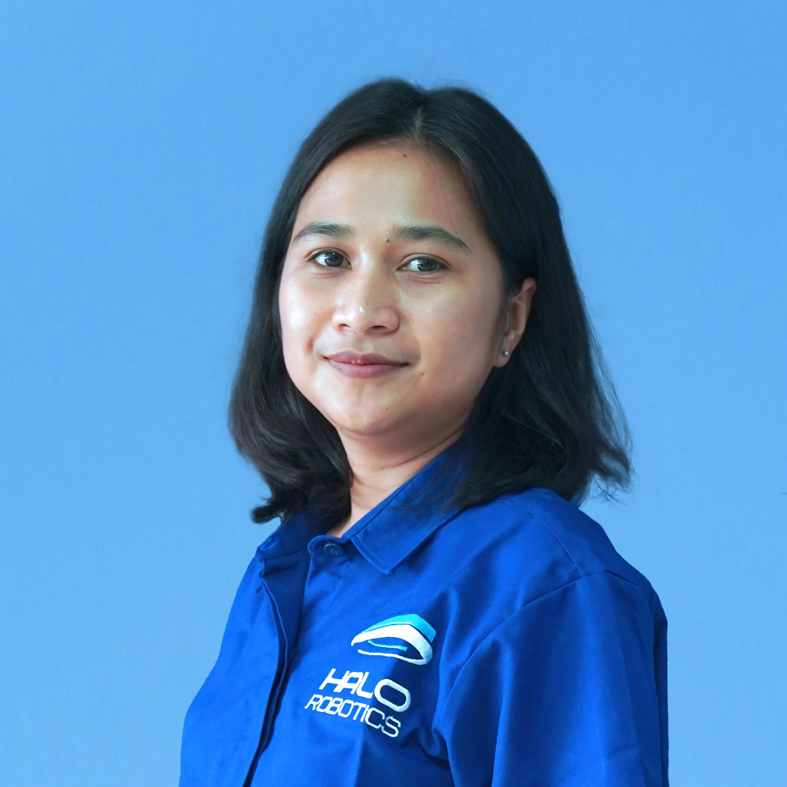
Presenters: Lusiana Suwandi, Product Manager, Halo Robotics and and Muhammad Chaidir Harist, Solution Specialist, Esri Indonesia
Transform your mining operations using GIS by optimizing your land management, asset monitoring, mining operations, HSE management and monitoring workflows. You will gain valuable insights into how this data-driven approach can drive operational excellence, improve decision-making, and contribute to sustainable mining practices.
- 11.05 | Enhancing sustainable mining practices
Presenters: Zulkarnain Elhuria, Mine Closure Analyst, PT. Indo Tambangraya Megah, Tbk and Muhammad Chaidir Harist, Solution Specialist, Esri Indonesia
Explore innovative GIS applications to revolutionize sustainable mining practices. We will deep dive into use cases, including revegetation management, carbon stock estimation, automated data updates, and optimized workflows.
Indo Tambangraya Megah (ITM) will also share how they have developed a GIS-based prototype for tree counting in the Sorowako area, incorporating AI to improve accuracy and efficiency, demonstrating the transformative power of GIS for sustainable mining.
- 12.00 | Closing remarks
Presenter: Satria Salazar, Sales Manager, Esri Indonesia


