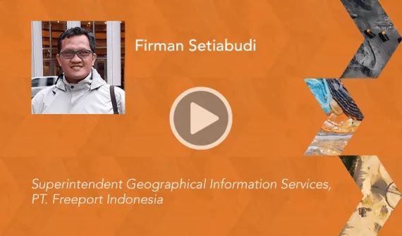
Firman Setiabudi
Superintendent Geographical Information Services
PT. Freeport Indonesia, Indonesia
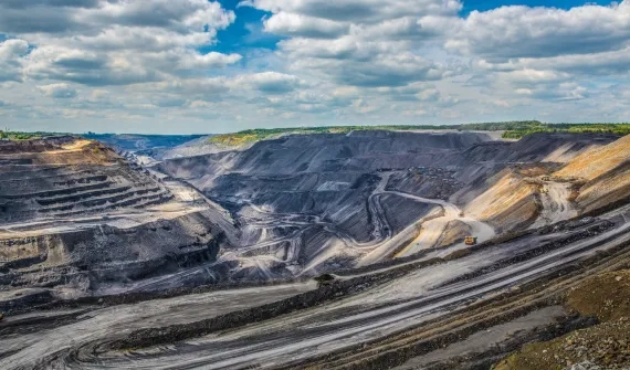
Mr. Setiabudi is a Superintendent of Geographical Information Services for PT. Freeport Indonesia and has more than 26 years’ experience in the field of Complex Geomatics Services, such as Geographical Information Systems (GIS) and Remote Sensing in the private and public sectors. Prior to joining PT. Freeport Indonesia, he was a Senior Geomatics Specialist and also as Geomatic Business Unit Manager for various Geospatial services at PT. Hatfield Indonesia, include leading the ‘Sensitivity Mapping for Oil Spill Contingency Plan’ Project in BP-Bintuni, Papua.
With a strong technical background in GIS and remote sensing, Mr. Setiabudi specialises in spatial analysis, spatial modelling, relational database management, and optical and radar spaceborne remote sensing. He has completed a master’s degree in Natural Resources Management with subject research in Synthetic Sensing Radar (SAR) analysis for tailings deposition area in the PT. Freeport Indonesia project. He also has strong project management skills and has managed a number of large-scale GIS and remote sensing projects.
Mr. Setiabudi has extensive experience in environmental and mining exploration, spending six years as Senior GIS Developer at PT. MineServe International (an affiliate of PT. Freeport Indonesia) and PT. Eksplorasi Nusa Jaya (an affiliate of Freeport MacMoRan Copper and Gold), while supporting all exploration activities of PT. Freeport Indonesia and other areas in Indonesia.
From 2003 to 2005, Mr Setiabudi worked as a Senior Remote Sensing and GIS Specialist for the European Commission project 'Illegal Logging Response Center' to produce legal evidence in the fight against illegal logging in Gunung Palung National Park, Tanjung Putting National Park, and Bukit Barisan Selatan National Park.
Mr. Setiabudi was the GIS and Remote Sensing Specialist with PT. Hatfindo Prima (now know as PT. Hatfield Indonesia) from 1999 to 2002, and was involved in a number of projects, including: GIS for Land Management in KPC Sangata, GIS for Ecological Restoration for PT. Freeport Indonesia, and Decision Support Tools (DST) development for the Mekong River Commission in the Lower Mekong Basin countries of Thailand, Vietnam, Cambodia, and Lao PDR.