You are here About GIS technology Esri map gallery Esri map gallery Have a look at these GIS maps from around the world and see how other users are sharing information via smart mapping technology. Select an industry All industriesAgriculture and plantationHealth and human servicesSpatial data infrastructureNon-profitManufacturingUtilitiesTransportation and logisticsTelecommunicationsRetailProperty and real estateMining and petroleumLand administrationBanking and financial servicesInfrastructure and public worksGovernmentGasForestryEmergency and disaster responseElectricityDefence and intelligenceWater Select a region All regionsAfricaSouth AmericaNorth AmericaAsiaAustraliaEuropeInternational Select a subject All subjectsNatureDisasterIn the newsBusinessCultureCommunityDesignDevelopmentFarmingHistoricalHumanitarianUrban planningTravelPoliticsSpaceScienceTechnologyVirtual reality Growth from the ground up Learn more on the importance of green infrastructure amid today's urban developments, and discover how communities stand to benefit from reversing the traditional order of planning. Explore Zika virus: past, present and future With reported cases in over 20 countries, Zika virus has become one of the most significant health threats of recent times. Learn more about the disease and how to protect yourself from it. Explore Singapore OneMap Developed by the Singapore Land Authority, the Singapore OneMap is an application that allows users to search and navigate intelligently for places of interest such as museums, hawker centres, childcare services, parks and sports centres. Explore Your everyday Singapore map Developed by Esri Singapore, Whereto.sg is one of the nation's most visited online maps. It features an intuitive interface highlighting various points of interests such as restaurants, bus stops and ATMs, and allows users to plan their journey using the most convenient driving and public transport routes. Explore Balikpapan oil spill incident: a tragedy for the ecosystem The biggest oil spill in Balikpapan Bay East Kalimantan significantly affected the marine ecosystem as well as coastal residents. Esri Indonesia created a dynamic 3D map to promote greater awareness of the incident. Explore Unlock the spatial power with our new Spatial Heroes Four recent graduates from the country's top universities were trained in the Spatial Heroes program where they were taught how to address real-world challenges using GIS. Explore Deep dive into Cambodia's oil and gas industry A Canadian University student completes her internship in Esri Indonesia by using ArcGIS to deliver a compelling report about the landscape of Cambodia's oil and gas industry. Explore Flying high in the Indonesian sky Follow Saleh Sudrajat's 5,000-kilometre journey across Indonesia - from Sabang to Merauke - in an ultralight trike that could facilitate access to disaster areas and expediate emergency service delivery across the nation. Explore Building portal to display weather information Access the meteorology, climatology, and geophysics data from BMKG with ease through the web-based GIS portal built by students from Universitas Indonesia during their internship at Esri Indonesia. Explore Pagination First page « First Previous page ‹ Previous Page 1 Current page 2 Page 3 Page 4 Page 5 Next page Next › Last page Last »
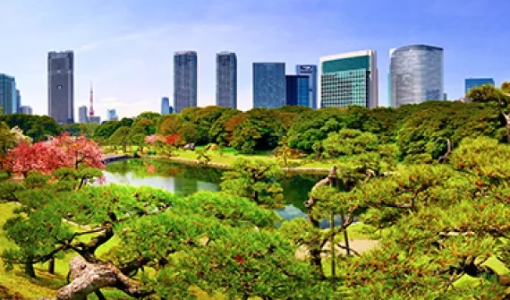
Growth from the ground up Learn more on the importance of green infrastructure amid today's urban developments, and discover how communities stand to benefit from reversing the traditional order of planning. Explore
Zika virus: past, present and future With reported cases in over 20 countries, Zika virus has become one of the most significant health threats of recent times. Learn more about the disease and how to protect yourself from it. Explore
Singapore OneMap Developed by the Singapore Land Authority, the Singapore OneMap is an application that allows users to search and navigate intelligently for places of interest such as museums, hawker centres, childcare services, parks and sports centres. Explore
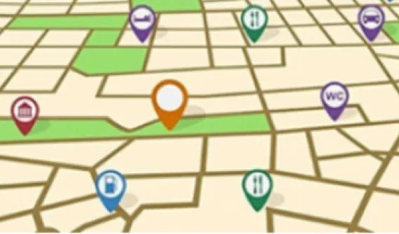
Your everyday Singapore map Developed by Esri Singapore, Whereto.sg is one of the nation's most visited online maps. It features an intuitive interface highlighting various points of interests such as restaurants, bus stops and ATMs, and allows users to plan their journey using the most convenient driving and public transport routes. Explore
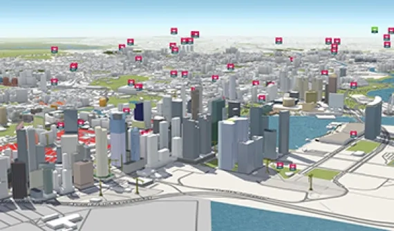
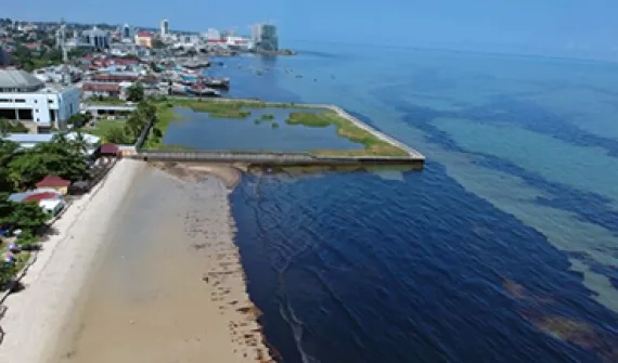
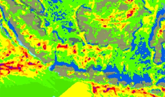
Balikpapan oil spill incident: a tragedy for the ecosystem The biggest oil spill in Balikpapan Bay East Kalimantan significantly affected the marine ecosystem as well as coastal residents. Esri Indonesia created a dynamic 3D map to promote greater awareness of the incident. Explore
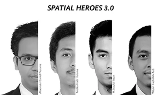
Unlock the spatial power with our new Spatial Heroes Four recent graduates from the country's top universities were trained in the Spatial Heroes program where they were taught how to address real-world challenges using GIS. Explore
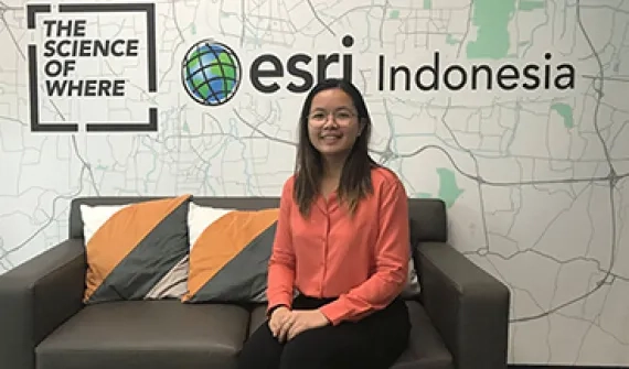
Deep dive into Cambodia's oil and gas industry A Canadian University student completes her internship in Esri Indonesia by using ArcGIS to deliver a compelling report about the landscape of Cambodia's oil and gas industry. Explore
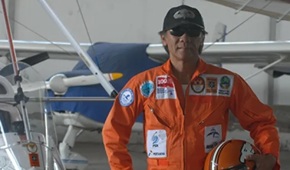
Flying high in the Indonesian sky Follow Saleh Sudrajat's 5,000-kilometre journey across Indonesia - from Sabang to Merauke - in an ultralight trike that could facilitate access to disaster areas and expediate emergency service delivery across the nation. Explore
Building portal to display weather information Access the meteorology, climatology, and geophysics data from BMKG with ease through the web-based GIS portal built by students from Universitas Indonesia during their internship at Esri Indonesia. Explore