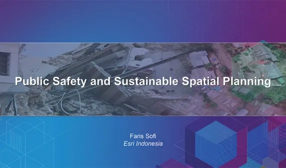
You are here Home Senior Leaders Forum 2018 presentations Senior Leaders Forum 2018 presentations "Enabling Indonesia 4.0" Keynote Speech: One Map Policy for Sustainable Development Presenter: Prof. Dr. Ir. Hasanuddin Z. Abidin, Kepala Badan Informasi Geospasial (BIG) Learn more Case study: Inovasi 4.0 BMKG Presenter: Prof. Dwikorita Karnawati, M.Sc., Ph.D, Kepala Badan Meteorologi, Klimatologi, & Geofisika (BMKG) Learn more Panel discussion (National Security & Public Safety) Presenter: Kolonel Laut (P) Dyan Primana Sobaruddin M.Sc, Kepala Dinas Peta, Pusat Hidrografi dan Oseanografi TNI Angkatan Laut (Pushidrosal) Learn more Panel discussion (National Security & Public Safety) Presenter: AKBP Arif Rifa'i, Kasubag Keamanan dan Keselamatan, Korps Lalu Lintas Kepolisian RI (Korlantas Polri) Learn more Panel discussion (National Security & Public Safety) Presenter: Dr. Eng. Masita Dwi Mandini Manessa, Staff Ahli Sekretaris Utama, Badan Nasional Penanggulangan Terorisme (BNPT) Learn more Panel discussion (National Security & Public Safety) Presenter: Amalia Maya Fitri, Dipl. Ing., VP Perencanaan & Kinerja Perusahaan, PT. Pindad (Persero) Learn more Case study: Geographic Information System Tata Ruang (GISTARU) Presenter: Aria Indra Purnama, ST, MUM, Direktur PerencanaanTata Ruang, Kementerian Agraria dan Tata Ruang (ATR/BPN) Learn more Geospatial 4.0: Public Safety and Sustainable Spatial Planning Learn more Case Study: Implementasi Road Safety Menuju Zero Presenter: Ir. Prasetyo Boeditjahjono, MM, Staf Ahli Bidang Teknologi, Lingkungan dan Energi, Kementerian Perhubungan Learn more Panel discussion (Implementation Open Government & One Map Policy) Presenter: Ir. Isra Natalisa Ginting MAP, Kepala Subdirektorat Pengembangan Pemetaan Statistik, Badan Pusat Statistik (BPS) Learn more Panel discussion (Implementation Open Government & One Map Policy) Presenter: Moh. Fifik Syafiudin ST., MSc, Kepala Bidang Toponim, Pusat Pemetaan Rupabumi dan Toponim, Badan Informasi Geospasial (BIG) Learn more Panel discussion (Implementation Open Government & One Map Policy) Presenter: Marsekal Pertama Ade Dian Suryacandra, Kepala Pusat Laboratorium, Lembaga Ketahanan Nasional (Lemhannas) Learn more Panel discussion (Implementation Open Government & One Map Policy) Presenter: Nazib Faizal, ST., MSc, Kepala Subdirektorat Analisa Data dan Pengembangan Sistem, Direktorat Jenderal Bina Marga Learn more
Keynote Speech: One Map Policy for Sustainable Development Presenter: Prof. Dr. Ir. Hasanuddin Z. Abidin, Kepala Badan Informasi Geospasial (BIG) Learn more
Case study: Inovasi 4.0 BMKG Presenter: Prof. Dwikorita Karnawati, M.Sc., Ph.D, Kepala Badan Meteorologi, Klimatologi, & Geofisika (BMKG) Learn more
Panel discussion (National Security & Public Safety) Presenter: Kolonel Laut (P) Dyan Primana Sobaruddin M.Sc, Kepala Dinas Peta, Pusat Hidrografi dan Oseanografi TNI Angkatan Laut (Pushidrosal) Learn more
Panel discussion (National Security & Public Safety) Presenter: AKBP Arif Rifa'i, Kasubag Keamanan dan Keselamatan, Korps Lalu Lintas Kepolisian RI (Korlantas Polri) Learn more
Panel discussion (National Security & Public Safety) Presenter: Dr. Eng. Masita Dwi Mandini Manessa, Staff Ahli Sekretaris Utama, Badan Nasional Penanggulangan Terorisme (BNPT) Learn more
Panel discussion (National Security & Public Safety) Presenter: Amalia Maya Fitri, Dipl. Ing., VP Perencanaan & Kinerja Perusahaan, PT. Pindad (Persero) Learn more
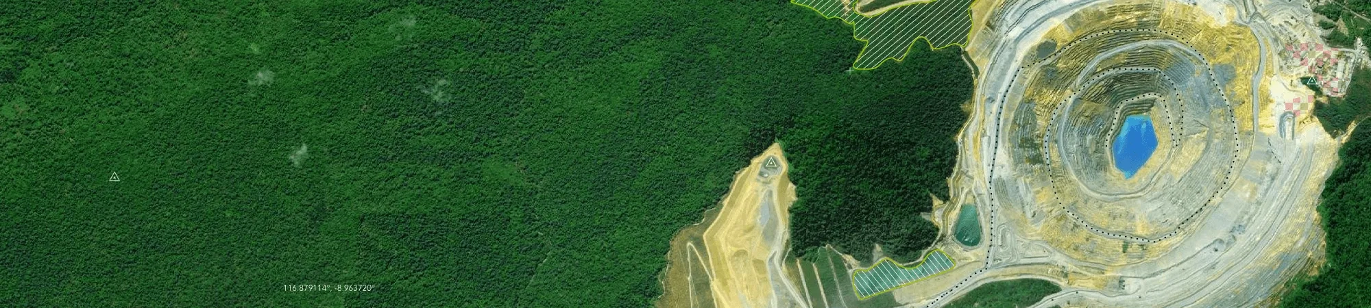
Case study: Geographic Information System Tata Ruang (GISTARU) Presenter: Aria Indra Purnama, ST, MUM, Direktur PerencanaanTata Ruang, Kementerian Agraria dan Tata Ruang (ATR/BPN) Learn more
Case Study: Implementasi Road Safety Menuju Zero Presenter: Ir. Prasetyo Boeditjahjono, MM, Staf Ahli Bidang Teknologi, Lingkungan dan Energi, Kementerian Perhubungan Learn more
Panel discussion (Implementation Open Government & One Map Policy) Presenter: Ir. Isra Natalisa Ginting MAP, Kepala Subdirektorat Pengembangan Pemetaan Statistik, Badan Pusat Statistik (BPS) Learn more
Panel discussion (Implementation Open Government & One Map Policy) Presenter: Moh. Fifik Syafiudin ST., MSc, Kepala Bidang Toponim, Pusat Pemetaan Rupabumi dan Toponim, Badan Informasi Geospasial (BIG) Learn more
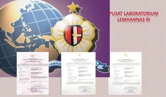
Panel discussion (Implementation Open Government & One Map Policy) Presenter: Marsekal Pertama Ade Dian Suryacandra, Kepala Pusat Laboratorium, Lembaga Ketahanan Nasional (Lemhannas) Learn more
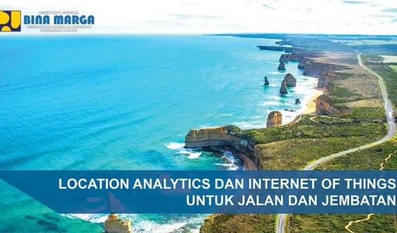
Panel discussion (Implementation Open Government & One Map Policy) Presenter: Nazib Faizal, ST., MSc, Kepala Subdirektorat Analisa Data dan Pengembangan Sistem, Direktorat Jenderal Bina Marga Learn more