GIS can integrate high-resolution imagery, field observations, and real-time data feeds to understand how to make the most of your limited resources.
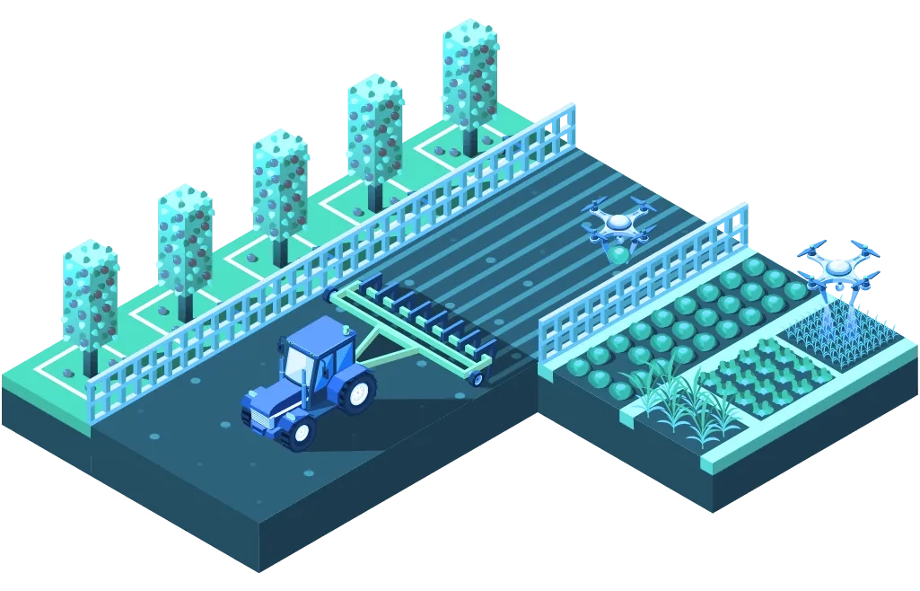
ArcGIS solutions for plantations
Discover how Esri’s GIS solutions for plantations allow you to collect, maintain, and analyze all your agriculture field data in one centralised system.
Asset and infrastructure monitoring system
Monitor plantation assets and infrastructure to support activities and optimise costs.
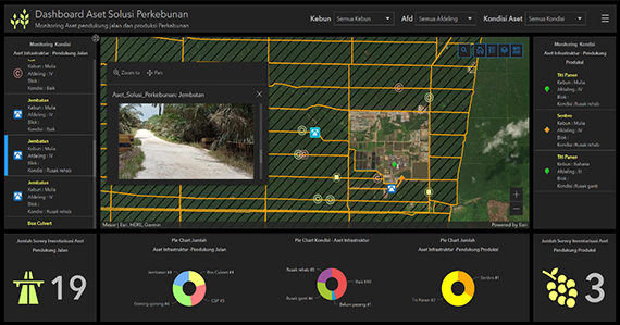
Ideas and insights:
- Maintain asset and infrastructure data inventory
- Monitor the status and location of assets and infrastructure
- Analyse maintenance needs and costs
Product mix:
Road maintenance monitoring
Monitor the status of road networks supporting your plantation and schedule regular maintenance to support smooth production and distribution processes.
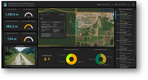
Ideas and insight:
- Road maintenance data inventory
- Monitor the status and location of each maintenance activity
- Analyse maintenance needs and costs
Product mix:
Early warning system – pests and disease
Leverage the capabilities of innovative GIS solutions and digital surveys to minimise the impact of pest and disease outbreaks with preventative real-time monitoring.
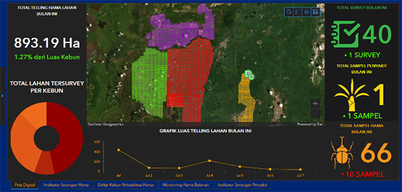
Ideas and insight:
- Prepare to respond to all levels of pest attack and disease threat
- Detect, monitor, analyze and forecast the impact of pests and diseases
- Receive timely, accurate, credible pest and disease warnings
Product mix: