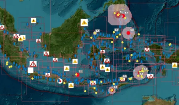
Map the ocean
Explore the strategies
Hydrography tools
Access ArcGIS products
Global perspectives
Read global use cases
Get started
Download GIS solutionsMaritime and hydrographic strategies
Hydrography toolkit
Enterprise-wide image and raster analytics
A comprehensive solution for managing, analyzing, and sharing imagery within the ArcGIS ecosystem.
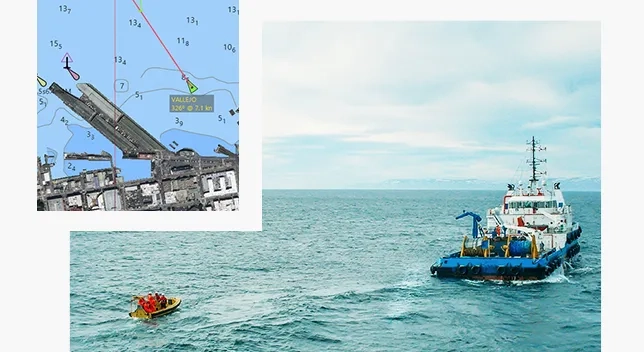
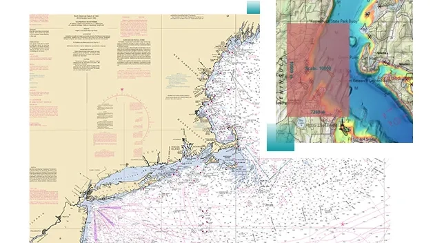
Beyond navigational charting
Modernise maritime chart production and ensure the upkeep of your ENCs and nautical charts to meet the highest industry standards, including IHO S-57, S-100, and S-4.
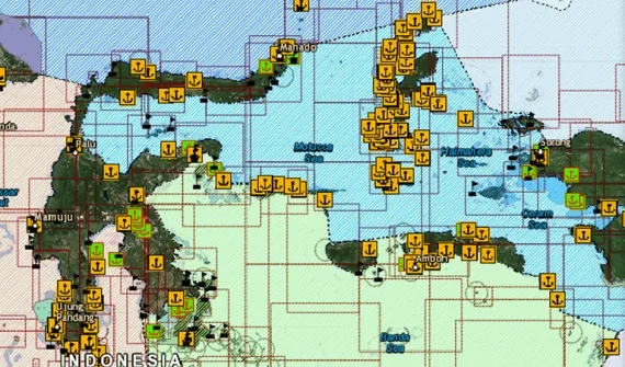
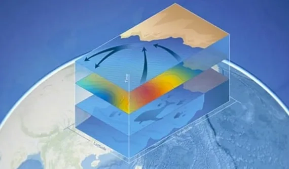
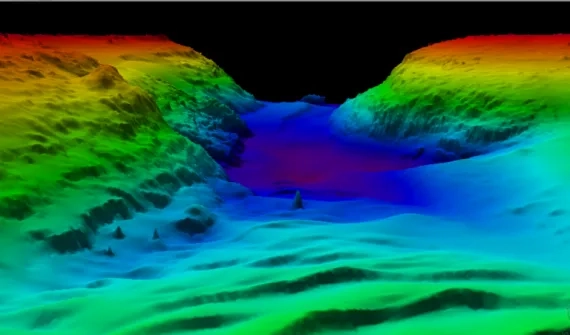
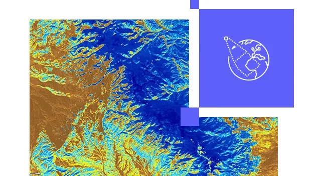
Geo-enable bathymetric data
Experience the power of customised metadata and learn how to generate custom bathymetry data easily.
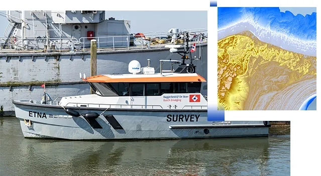
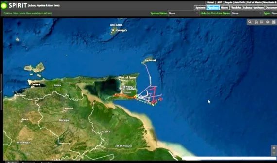
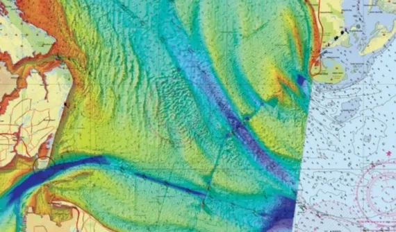
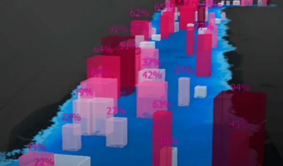
In-depth data, reaching further
Make maritime data available across your enterprise as web-based services that fit easily into established applications and workflows.
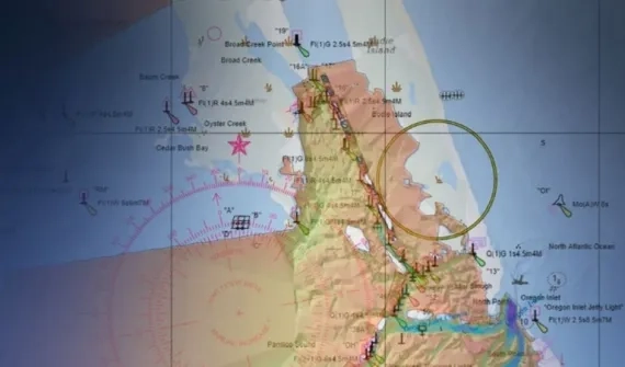
Learn how to display S-57 & S-63 encrypted datasets on the web