You are here News and events Events calendar Past event presentations Past event presentations View technical presentations, insights from international GIS professionals and local user stories from our past events. Award GeoInnovation Indonesia 2025 GeoInnovation Indonesia 2025 brings together leaders and innovators to Build Our Nation and create impact in excellence and sustainability. More Award GeoInnovation Indonesia 2024 With the theme GIS Uniting Our Nation, we showcase innovative geospatial solutions that drive progress and empower Indonesia's future. More Resource Mining User Community Forum 2024 The 2024 Mining User Community Forum showcases ArcGIS solutions that enhance decision-making, efficiency, and sustainability throughout the mining lifecycle. Watch now
Award GeoInnovation Indonesia 2025 GeoInnovation Indonesia 2025 brings together leaders and innovators to Build Our Nation and create impact in excellence and sustainability. More
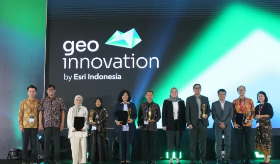
Award GeoInnovation Indonesia 2024 With the theme GIS Uniting Our Nation, we showcase innovative geospatial solutions that drive progress and empower Indonesia's future. More
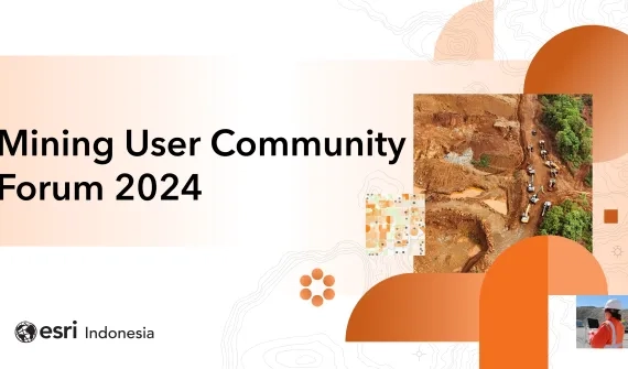
Resource Mining User Community Forum 2024 The 2024 Mining User Community Forum showcases ArcGIS solutions that enhance decision-making, efficiency, and sustainability throughout the mining lifecycle. Watch now