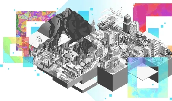

Intelligent water management begins with GIS and goes far beyond locating pipes and facilities.
Discover how GIS enables water utilities to manage asset registries, analyze system performance, optimise work, and collaborate between teams in the office and the field.
Industry solutions catalogue
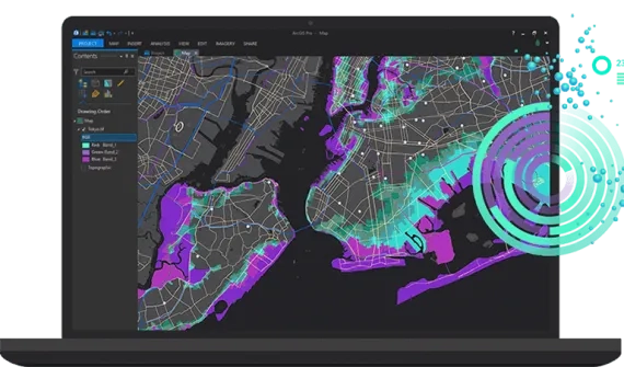
Integrated spatial asset management
Leverage modern asset management capabilities to optimise maintenance frameworks and maximise asset performance.
By integrating multiple data types, water utilities can deliver a comprehensive understanding across the entire asset life cycle while minimising risks, optimising existing resources and managing costs.
Ideas and insights:
- Fine-tune asset management
- Integrate data management
- Provide insight with performance assessment
- Optimise asset life cycles
- Implement industry best practices
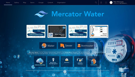
Integrated operations management
Provide comprehensive network and asset visibility to optimise resources and increase productivity.
Enable coordination of staff and workloads to improve service delivery.
Ideas and insights:
- Leverage location technology for better decision-making
- Integrate with critical business systems
- Improve workforce efficiency
- Maintain comprehensive situational awareness
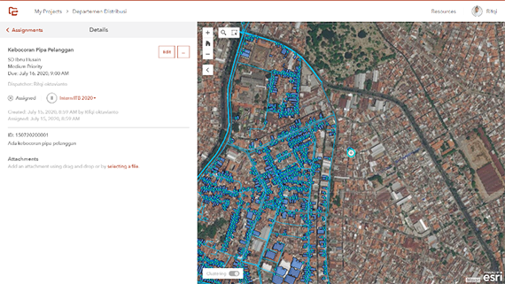
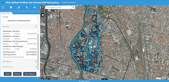
New service connection smart system
Drive a digital transformation and optimise workflows with paperless surveys and financial evaluation of new service connections.
Ideas and insights:
- Support digital transformation and customer self-service
- Analyze and predict new installation costs
- Reduce operational and service delivery time
- Visualise cost analysis on a map