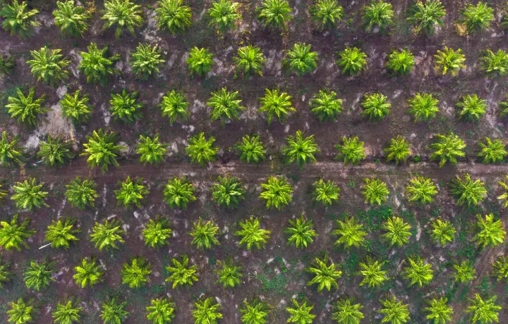
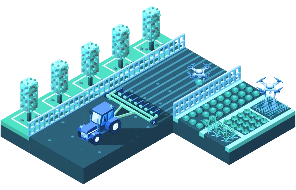
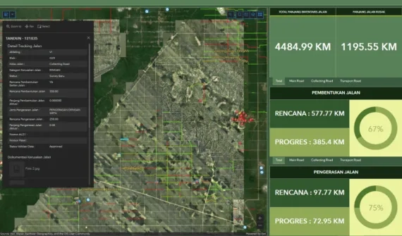
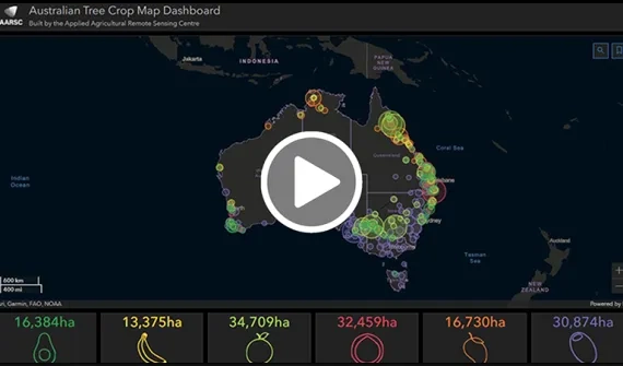
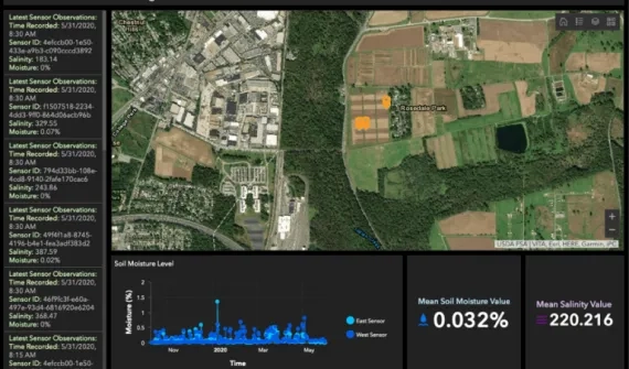
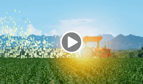
Integrate high-resolution imagery, field observations, and real-time data feeds to understand how to make the most of your limited resources. Esri technology allows you to collect, maintain, and analyze all your agriculture field data in one centralised system.
Explore the industry solution catalogue - or get in touch on email or call (021) 2709 9881 - 84 - to find out how GIS integrates multiple data feeds into a single centralised system.
Plantation user group
Calling expressions of interest to join this group - where fellow GIS enthusiasts engage in knowledge-sharing sessions to keep you updated on the latest GIS applications specifically designed for the plantation industry.
Your application will be reviewed to determine eligibility for joining this community.
