
GIS is digitally transforming AEC firms through improved workflows, better collaboration, and strategic partnerships to build smart communities and assets for the future. Add location to design to understand projects in context and deliver greater ROI.

Explore a real-life scenario
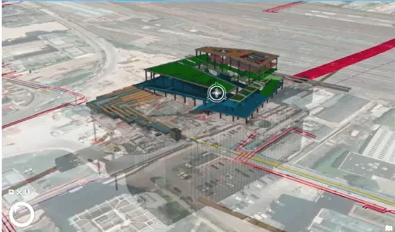
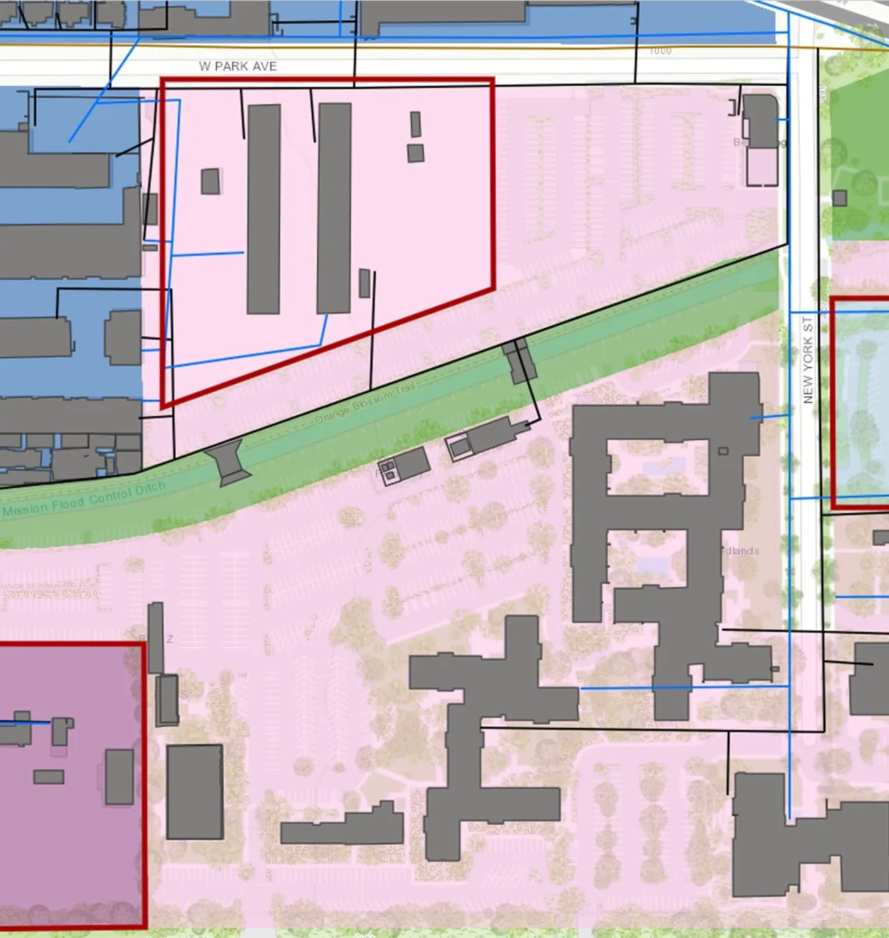
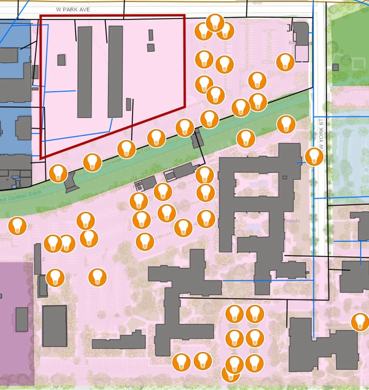
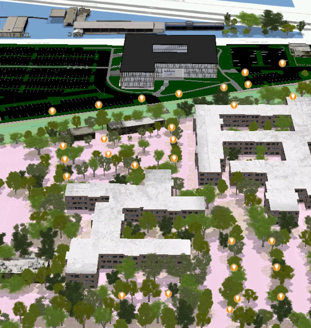
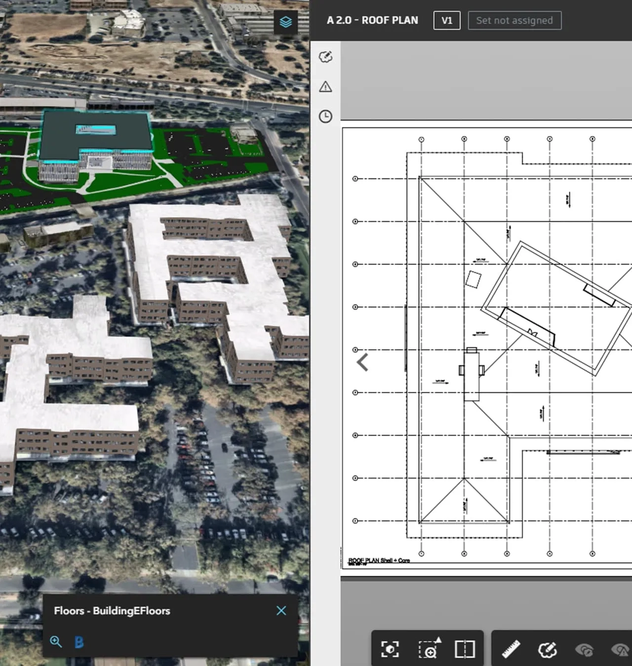
Improve your project site planning with ArcGIS - design with a geographic context, provide field inventory and maintenance updates, and share real-time project updates with internal and external stakeholders.
AEC user community
Calling expressions of interest to join this group - where fellow GIS enthusiasts engage in knowledge-sharing sessions to keep you updated on the latest GIS applications specifically designed for the architecture, engineering and construction industry.
Your application will be reviewed to determine eligibility for joining this community.