You are here News and events News News Search news Search by year All20252024202320222021202020192018201720162015201420132012 Tags - Any -3DABSEventsLand AdministrationAECAgileAgribusinessAgricultureWaterfallLocation-based analyticsBig Data AnalyticsGeospatial AnalyticsUrban analyticsPredictive analysisReal-time analyticsTransport analyticsAnalyticsData analyticsAppsMobile applicationsAppStudioArcGISArcGIS 10.5ArcGIS 10.6ArcGIS EnterpriseArcGIS Enterprise 11.5ArcGIS Enterprise 12.0ArcGIS Enterprise upgradeArcGIS HubArcGIS IndoorsArcGIS OnlineArcGIS ProArtificial intelligenceAsset managementInsuranceInsurance and BankingAugmented realityAustralian Bureau of StatisticsAutodeskBankingBIBig DataBIMBusinessBorder PatrolBusiness IntelligenceCadastreCalifornia CoastlineCitizen engagementClean energyCloudCloud computingCloud GISCollectorCommercialCommercial propertyCommunityContentCoronavirusCouncilCOVID-19Crisis CrowdsourcingDataRaster dataData visualisationDeep learningDefence and intelligenceDekhoDesignSpeculative designDigital constructionDigital engineeringDigital transformationDigital transformationDigital twinDisruptive appsDronesResourcesEducationGreen economyeLearningElectionElectorateElectricElectricityEmergency managementEmergency responseEmergency servicesEnergyRenewable energyEnergy, oil, gas and renewablesEngineeringEnterprise GISENVIEnvironmental managementEsriEsri AustraliaEsri Petroleum ConferenceEsri UCEsri Young Scholar AwardEsri Young Scholars AwardFederal governmentFinancial institutionsFinancial servicesFood securityForestryGasGDA2020GDA94Geo hubGeoAIGeoAnalyticsGeoBIMGeographic datumGeographic Information SystemsGeospatialGeothermalSolar eclipseGISGIS for schoolsGIS for urban and regional planningGIS in miningGIS in national government GIS in oil and gasGIS managerGIS server softwareGIS technologyGIS untuk perencanaan kota dan wilayahGIS web servicesGovernmentGovernmentMount AgungHealthHealth and human servicesHomeland SecurityIcon WaterIDLImageryImpact AwardsIndoor navigationPetroleumTransport and InfrastructureInnovationInsights for ArcGISLocation intelligenceOperational intelligenceInteractive mapsInternet of ThingsInternshipInteroperabilityIoTJack DangermondUtility networkJavaScriptNational SecurityPublic safetyPartnershipKerajaan Negeri SembilanOperational awarenessOH&SSmart communitiesSafe communitiesLand managementLaura DangermondLaw enforcementLive dataLive sensorsLocal governmentLogisticsMachine learningSupply chain managementMapping and chartingMapsMaritimeResilient communitiesMediaMicrosoft AzureMiningMining explorationOilOil & gasMobileMobile GISNational developmentNot for profitOpen dataOpen platformOz MineralsOzriUnited NationsPortsTrainingSustainable developmentState governmentSite ScanSAR ImagerySatellite imagerySAG AwardsRemote sensingPlanningUrban planningPERHAPIUnmanned Aerial VehiclesPETRONASProductsPublic sectorQueensland GlobeRetailUser researchROISaaSSabah Lands and Surveys DepartmentSAPSARscapeSensorsSmart transportSmart citiesSmarterWXSpatial data infrastructure solutionsStartupsStory mapsWaterSurvey123TelcoTelecommunicationsTransformationTransportTransportationTSFUIUnearthed ChallengeUser experienceUser interfaceUtilitiesUXUXGVirtual realityWeb GISWHO GeoInnovation: A catalyst for digital transformation Esri Indonesia continues to drive digital transformation across industries by showcasing cutting-edge geospatial innovation that helps organisations make smarter, faster decisions. Learn more Leading the way in geospatial innovation Meet Habisanti, Esri Indonesia’s Country Manager Learn more Innovating efficient and green construction with GIS Discover how ACCIONA leverages ArcGIS online to transform engineering projects, cutting cost, boosting collaboration, and accelerating the shift to a low-carbon future. Learn more News Pertamina showcases real-time permit system on the world stage Innovation in GIS-based permit management saved up to USD 25 Million presented at the Esri User Conference in San Diego. Learn more News Optimizing Jakarta's urban planning and design with GIS Strengthening Jakarta’s vision as a global smart city, by leveraging geospatial (smart mapping) technology to analyze layers of property and location data, was a core topic at the 2024 Jakarta Investment Festival (JIF). Learn more News Celebrating GIS innovation on the global stage Sustainability, collaboration and operational efficiency underpin two SAG Award winners, recognized at the 44th Esri User Conference. Learn more News 2023 Fellowship Program prototypes shine light on precision analytics From retail banking customer acquisition to rail safety, smart mapping technology can play a central role. Learn more News Digital transformation celebrated at the 2023 GeoInnovation Awards The GeoInnovation Awards brought together over 200 professionals and key stakeholders from various industries in Indonesia’s rapidly growing spatial community. Learn more Celebrating innovation in GIS application Learn more GeoAI Summit showcases geospatial technology based on AI Learn more MoU enhances mining skills, productivity, safety, and efficiency Esri Indonesia signs Memorandum of Understanding with PERHAPI Learn more Esri Indonesia moves office to a key strategic site at Capital Place Learn more Indonesian innovation recognised at global technology awards Learn more Enhancing Indonesia's disaster resilience Learn more Agriculture 4.0: Digital transformation for agribusinesses Learn more 'Jakarta Satu' program an international benchmark for Smart Cities Learn more New local government solutions improve service delivery and drive smarter cities Learn more Esri Indonesia and Dittopad are in synergy in the era of digital disruption in national defense Learn more Waskita Karya's new 3D Digital Twin drives resilient infrastructure design Learn more Digitising land monitoring through GIS Learn more Load More
GeoInnovation: A catalyst for digital transformation Esri Indonesia continues to drive digital transformation across industries by showcasing cutting-edge geospatial innovation that helps organisations make smarter, faster decisions. Learn more
Innovating efficient and green construction with GIS Discover how ACCIONA leverages ArcGIS online to transform engineering projects, cutting cost, boosting collaboration, and accelerating the shift to a low-carbon future. Learn more
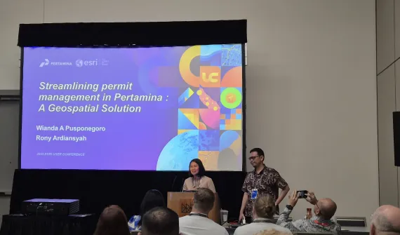
News Pertamina showcases real-time permit system on the world stage Innovation in GIS-based permit management saved up to USD 25 Million presented at the Esri User Conference in San Diego. Learn more
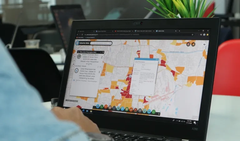
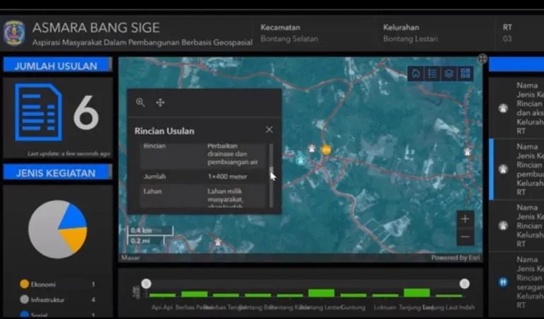
News Optimizing Jakarta's urban planning and design with GIS Strengthening Jakarta’s vision as a global smart city, by leveraging geospatial (smart mapping) technology to analyze layers of property and location data, was a core topic at the 2024 Jakarta Investment Festival (JIF). Learn more
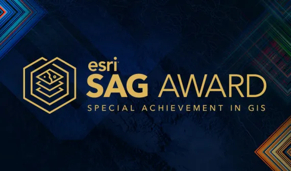
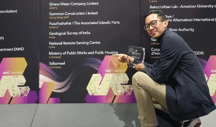
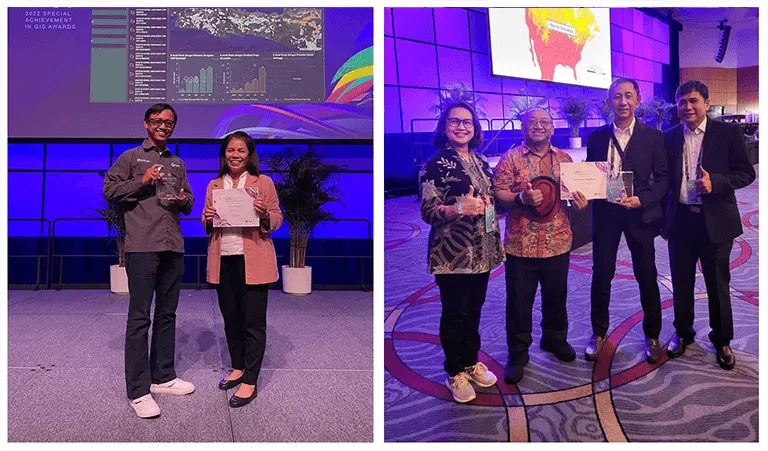
News Celebrating GIS innovation on the global stage Sustainability, collaboration and operational efficiency underpin two SAG Award winners, recognized at the 44th Esri User Conference. Learn more
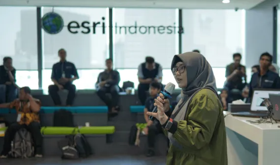
News 2023 Fellowship Program prototypes shine light on precision analytics From retail banking customer acquisition to rail safety, smart mapping technology can play a central role. Learn more
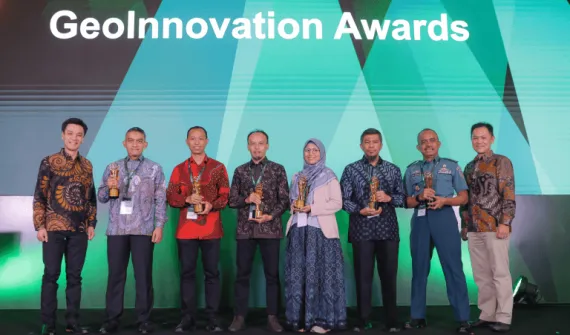
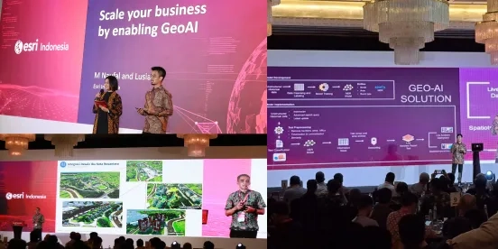
News Digital transformation celebrated at the 2023 GeoInnovation Awards The GeoInnovation Awards brought together over 200 professionals and key stakeholders from various industries in Indonesia’s rapidly growing spatial community. Learn more
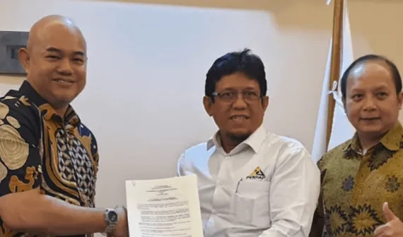
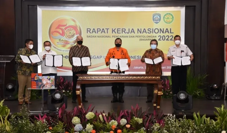
MoU enhances mining skills, productivity, safety, and efficiency Esri Indonesia signs Memorandum of Understanding with PERHAPI Learn more
Esri Indonesia and Dittopad are in synergy in the era of digital disruption in national defense Learn more