Setting regional standards for 3D subsurface data management
Setting regional standards for 3D subsurface data management
Get an exclusive look at Pertamina’s groundbreaking curation of comprehensive 3D subsea data that informed the restoration of its Langsa offshore facility.
Pertamina Hulu Energi’s Puguh Sarwanto sheds light on the use of GIS — from measuring the extent of the damage to the 3D visualisation and contextualization of subsea data.
Explore every piece of the puzzle creating a holistic view of the geospatial landscape and take a closer look at additional capabilities making sense of complex geospatial landscapes and enabling informed, data-driven decision making.
Why attend
- Manage multiple data types for informed decision-making.
- Learn to use ArcGIS for subsea and offshore data management.
- Find out new strategies for immersive 3D visualization and analytics.
- Discover the powerful role of geomatics for data management.
Speakers
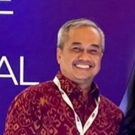
Puguh Sarwanto
Pertamina Hulu Energi, Jakarta, Indonesia
Lead Specialist Innovation Geomatic chez Upstream Innovation
Leading innovation in geomatics at PT Pertamina Hulu Energi.

Pachira Eizza Paramitha
Esri Indonesia, Jakarta
Senior Solution Specialist
A passionate geospatial enthusiast with a geodetic and geomatics engineering background.