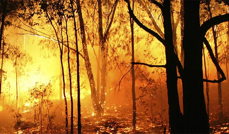
You are here News and events News News Search news Search by year All2024202320222021202020192018201720162015201420132012 Tags - Any -3DABSEventsLand AdministrationAECAgileAgribusinessAgricultureWaterfallLocation-based analyticsBig Data AnalyticsGeospatial AnalyticsUrban analyticsPredictive analysisReal-time analyticsTransport analyticsAnalyticsData analyticsAppsMobile applicationsAppStudioArcGISArcGIS 10.5ArcGIS 10.6ArcGIS EnterpriseArcGIS HubArcGIS IndoorsArcGIS OnlineArcGIS ProArtificial intelligenceAsset managementInsuranceInsurance and BankingAugmented realityAustralian Bureau of StatisticsAutodeskBankingBIBig DataBIMBusinessBorder PatrolBusiness IntelligenceCadastreCalifornia CoastlineCitizen engagementClean energyCloudCloud computingCloud GISCollectorCommercialCommercial propertyCommunityContentCoronavirusCouncilCOVID-19Crisis CrowdsourcingDataRaster dataData visualisationDeep learningDefence and intelligenceDekhoDesignSpeculative designDigital constructionDigital engineeringDigital transformationDigital transformationDigital twinDisruptive appsDronesResourcesEducationGreen economyeLearningElectionElectorateElectricElectricityEmergency managementEmergency responseEmergency servicesEnergyRenewable energyEnergy, oil, gas and renewablesEngineeringEnterprise GISENVIEnvironmental managementEsriEsri AustraliaEsri Petroleum ConferenceEsri UCEsri Young Scholar AwardEsri Young Scholars AwardFederal governmentFinancial institutionsFinancial servicesFood securityForestryGasGDA2020GDA94Geo hubGeoAIGeoAnalyticsGeoBIMGeographic datumGeographic Information SystemsGeospatialGeothermalSolar eclipseGISGIS for schoolsGIS for urban and regional planningGIS in miningGIS in national government GIS in oil and gasGIS managerGIS server softwareGIS technologyGIS untuk perencanaan kota dan wilayahGIS web servicesGovernmentGovernmentMount AgungHealthHealth and human servicesHomeland SecurityIcon WaterIDLImageryImpact AwardsIndoor navigationPetroleumTransport and InfrastructureInnovationInsights for ArcGISLocation intelligenceOperational intelligenceInteractive mapsInternet of ThingsInternshipInteroperabilityIoTJack DangermondUtility networkJavaScriptNational SecurityPublic safetyPartnershipKerajaan Negeri SembilanOperational awarenessOH&SSmart communitiesSafe communitiesLand managementLaura DangermondLaw enforcementLive dataLive sensorsLocal governmentLogisticsMachine learningSupply chain managementMapping and chartingMapsMaritimeResilient communitiesMediaMicrosoft AzureMiningMining explorationOilOil & gasMobileMobile GISNational developmentNot for profitOpen dataOpen platformOz MineralsOzriUnited NationsPortsTrainingSustainable developmentState governmentSite ScanSAR ImagerySatellite imagerySAG AwardsRemote sensingPlanningUrban planningPERHAPIUnmanned Aerial VehiclesPETRONASProductsPublic sectorQueensland GlobeRetailUser researchROISaaSSabah Lands and Surveys DepartmentSAPSARscapeSensorsSmart transportSmart citiesSmarterWXSpatial data infrastructure solutionsStartupsStory mapsWaterSurvey123TelcoTelecommunicationsTransformationTransportTransportationTSFUIUnearthed ChallengeUser experienceUser interfaceUtilitiesUXUXGVirtual realityWeb GISWHO Telkom and Lemhannas RI receive global innovation award Two leading Indonesian organisations edged out over 100,000 competitors globally to win a global technology award, presented by Esri founder Jack Dangermond. Learn more Tourism app wins Universitas Gadjah Mada student US trip Winner of the 2018 Indonesia Esri Young Scholar Award, Brigitta Maria Ledha showcased her tourism app, LUNGO! Jogja at the Esri User Conference in San Diego. Learn more Spatial technology saves Pertamina Hulu Mahakam millions An innovative real-time technology solution saving petroleum giant Pertamina Hulu Mahakam millions of US dollars annually was recognised at a leading oil and gas conference in Houston. Learn more News Geospatial technology empowers disaster mitigation in Indonesia Leading disaster management experts met in Jakarta to discuss how GIS technology will be used to safeguard the country from earthquakes, tsunamis, landslides, volcanic eruptions, flooding, and droughts. Learn more News Esri supports SAP HANA platform A global announcement by SAP and Esri enhances performance and scalability by integrating enterprise and geospatial data into core business processes. Learn more News Chevron wins location analytics competition Chevron Indonesia wins Esri Indonesia’s Oil and Gas Customer Experience Submission Competition, with Saka Energi Indonesia in second place and Total E&P Indonesié in third. Learn more News 10 finalists announced for GIS Day 2017 student competition Esri Indonesia has shortlisted the top 10 story map submissions of its GIS Day 2017 student competition. Learn more News 3D smart maps aid response efforts as Bali braces for the impending volcanic calamity A smart mapping portal on volcanic activity in Bali provides valuable data information for emergency responders and the public. Learn more 4-week internship experience at Esri Indonesia Learn more Navy's state-of-the-art data centre receives global recognition Learn more News ITB student wins global tech award for crowdsourcing app Dirga Imam Gozali Sumantri has won the 2017 Esri Young Scholar Award for a citizen-engagement tool that enables community members to report issues to their local city government. Learn more Gartner Location Intelligence Software Forecast Snapshot Learn more Learn more Bank Muamalat uses location-based analytics in growth strategy Learn more Ministry of Environment and Forestry launches interactive geospatial portal Learn more Learn more APP Sinar Mas reduces fire risk with smart maps Learn more Learn more Learn more Learn more Load More
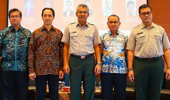
Telkom and Lemhannas RI receive global innovation award Two leading Indonesian organisations edged out over 100,000 competitors globally to win a global technology award, presented by Esri founder Jack Dangermond. Learn more
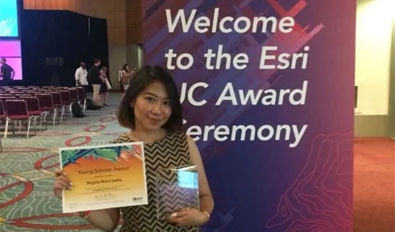
Tourism app wins Universitas Gadjah Mada student US trip Winner of the 2018 Indonesia Esri Young Scholar Award, Brigitta Maria Ledha showcased her tourism app, LUNGO! Jogja at the Esri User Conference in San Diego. Learn more
Spatial technology saves Pertamina Hulu Mahakam millions An innovative real-time technology solution saving petroleum giant Pertamina Hulu Mahakam millions of US dollars annually was recognised at a leading oil and gas conference in Houston. Learn more
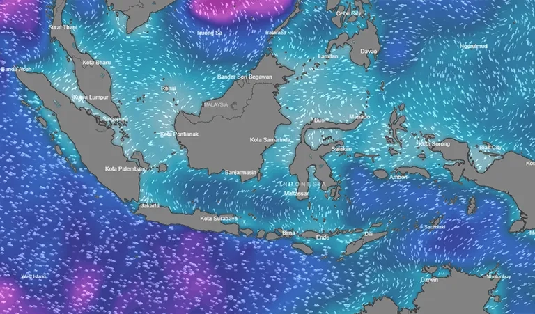
News Geospatial technology empowers disaster mitigation in Indonesia Leading disaster management experts met in Jakarta to discuss how GIS technology will be used to safeguard the country from earthquakes, tsunamis, landslides, volcanic eruptions, flooding, and droughts. Learn more
News Esri supports SAP HANA platform A global announcement by SAP and Esri enhances performance and scalability by integrating enterprise and geospatial data into core business processes. Learn more
News Chevron wins location analytics competition Chevron Indonesia wins Esri Indonesia’s Oil and Gas Customer Experience Submission Competition, with Saka Energi Indonesia in second place and Total E&P Indonesié in third. Learn more
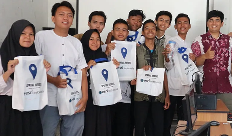
News 10 finalists announced for GIS Day 2017 student competition Esri Indonesia has shortlisted the top 10 story map submissions of its GIS Day 2017 student competition. Learn more
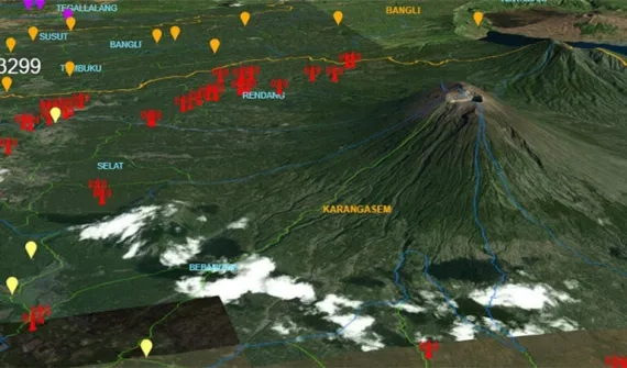
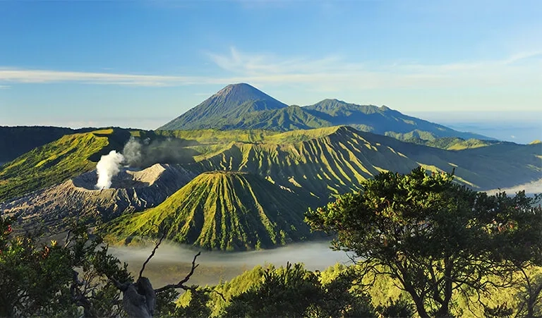
News 3D smart maps aid response efforts as Bali braces for the impending volcanic calamity A smart mapping portal on volcanic activity in Bali provides valuable data information for emergency responders and the public. Learn more
News ITB student wins global tech award for crowdsourcing app Dirga Imam Gozali Sumantri has won the 2017 Esri Young Scholar Award for a citizen-engagement tool that enables community members to report issues to their local city government. Learn more